Updated 10.10.21 @ 10:14a
Forecast Period: 10.10.21 through 10.17.21
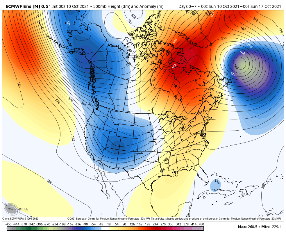
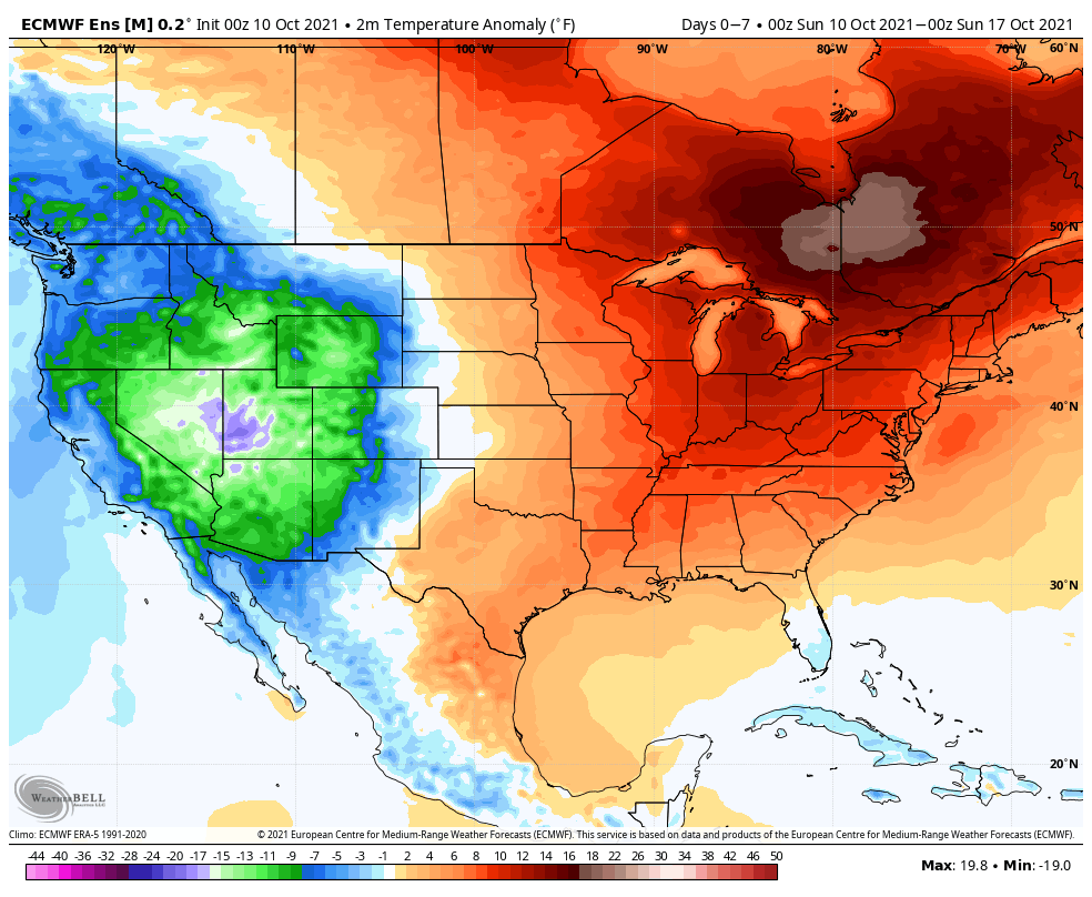
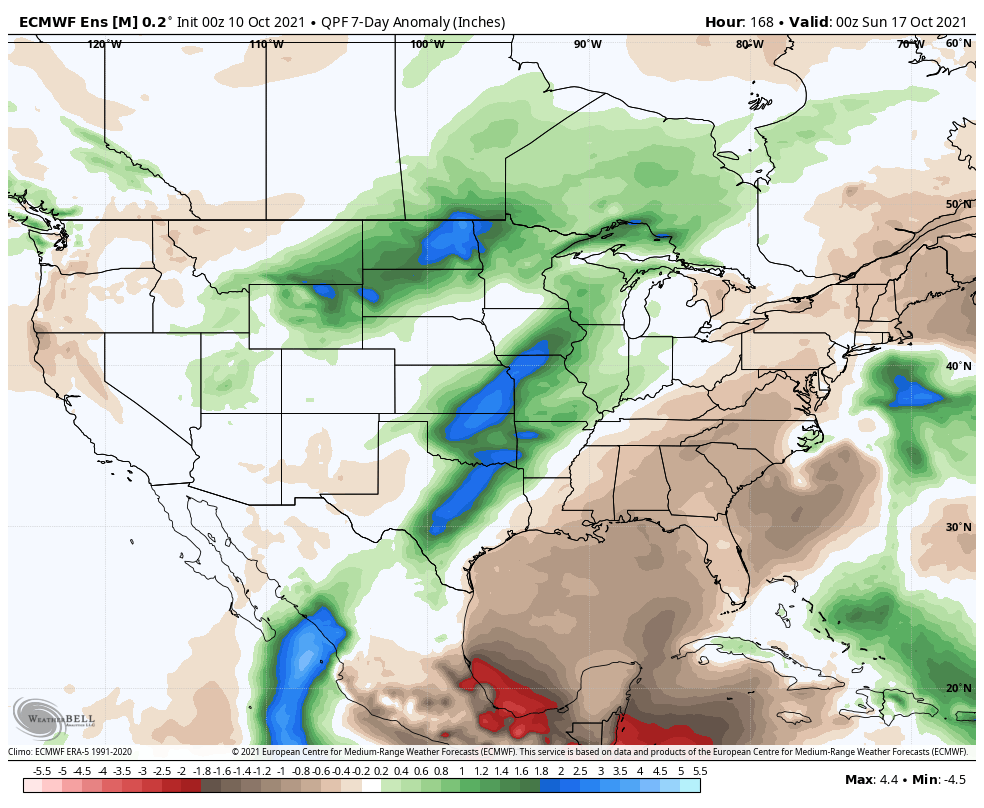
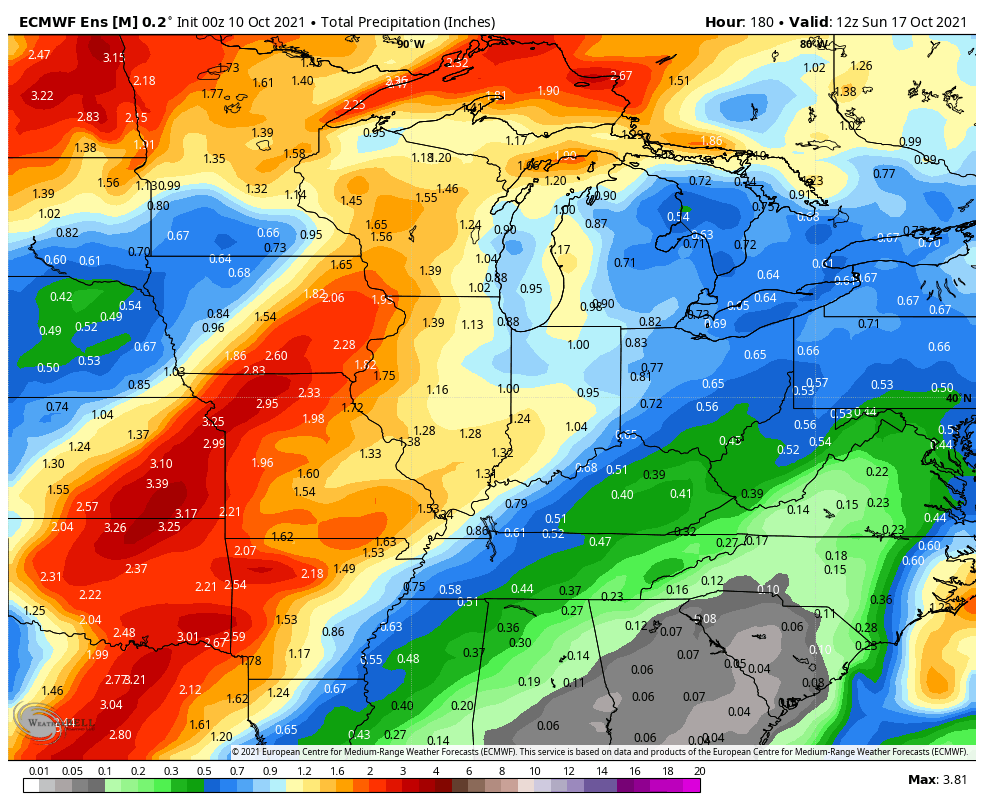
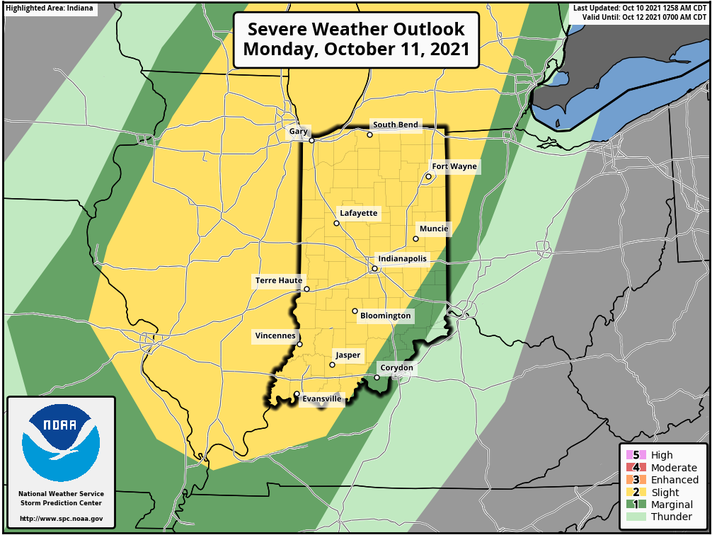
While the bulk of the forecast period will run well above normal, this will be a much more active 7-day period than we’ve seen of late. The first storm system will approach Monday afternoon. After a warm, breezy, and mostly dry day, a line of storms will move through from west to east during the afternoon and evening. Strong damaging straight line winds appear to be the greatest threat but there will also be the potential of an isolated tornado. We bracket the hours from 2p to 10p for this line of storms to impact the state. Another storm system will move through the area late in the work week with widespread rain and a shot of much cooler, fall-like air as we head into next weekend. Dry conditions should return just in time for the weekend.
