I. Tropics claim headlines this week.
II. Summer-like temperatures and humidity returns.


Forecast Period: 08.22.20 through 08.29.20
A historic tropical event is likely to impact the Gulf of Mexico this week as not one, but two named tropical systems (likely both hurricanes) track north, northwest and target the central and western Gulf Coast. While additional fluctuations in the ultimate track and subsequent point of landfall can be expected over the next couple of days, confidence is increasing on the likelihood of 2 hurricanes making landfall within 36-48 hours of each other somewhere from the MS coast to the LA and TX coast. This won’t only be a coastal issue, but quickly grow into a big inland flood situation for the lower MS Valley and into the TN Valley as we get into the middle and latter parts of the week.
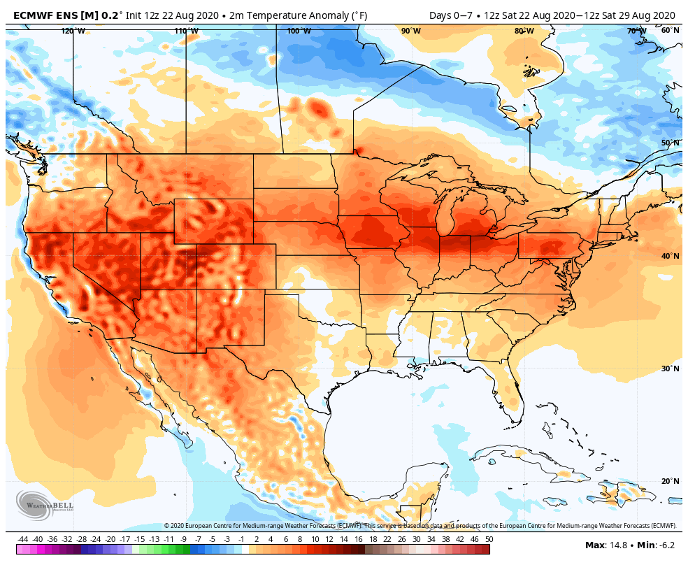
Back home, a much more typical summer-like regime can be expected this week, including a return of heat and humidity. While splash and dash coverage of storms is expected Sunday evening into Monday, most of the upcoming week looks rain-free, at least until late week. That’s when a stronger cold front will take aim on the region and increase shower and thunderstorm chances Thursday into Friday. To add further complexity into the equation, we’ll also have to monitor the remnant tropical moisture moving north, as it’s still possible some of this moisture gets entangled with the cold front. Whether or not this is the case or not is yet to be seen and will be the cause of great whaling and gnashing of teeth this week. Regardless, unlike with some tropical remnants, the upper pattern supports a fairly quick movement of the remnants once to midweek, so that would greatly limit flooding potential up this far north.
The early call on next weekend is for a drier regime to begin building in.
