Weekly Highlights:
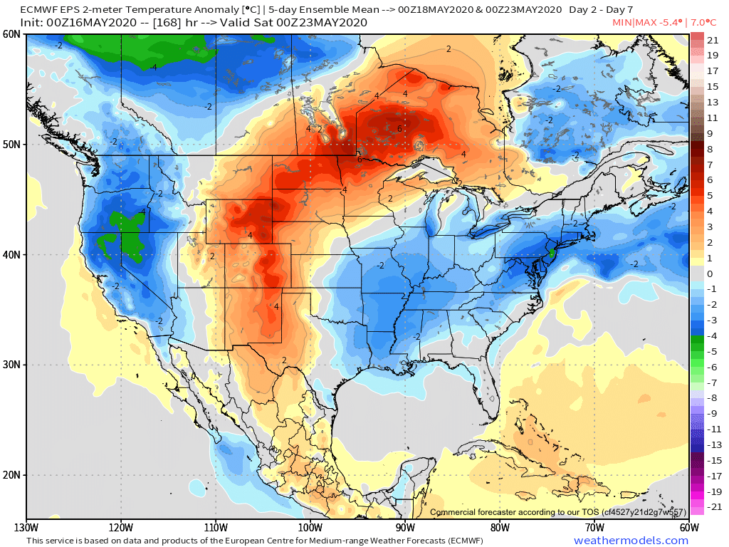
I. Cut off upper low will keep things cool and unsettled for much of the upcoming week across the East.
II. Summer-like heat is poised to expand across a good chunk of the area around and just after Memorial Day weekend.


Forecast Period: 05.16.20 through 05.23.20
Most of our Saturday will feature beautiful weather to spend time outdoors. In fact, we’re not expecting a drop of rain across central Indiana through the daytime. Add in highs around 80° and a gorgeous day is in the making! Get out and enjoy it!
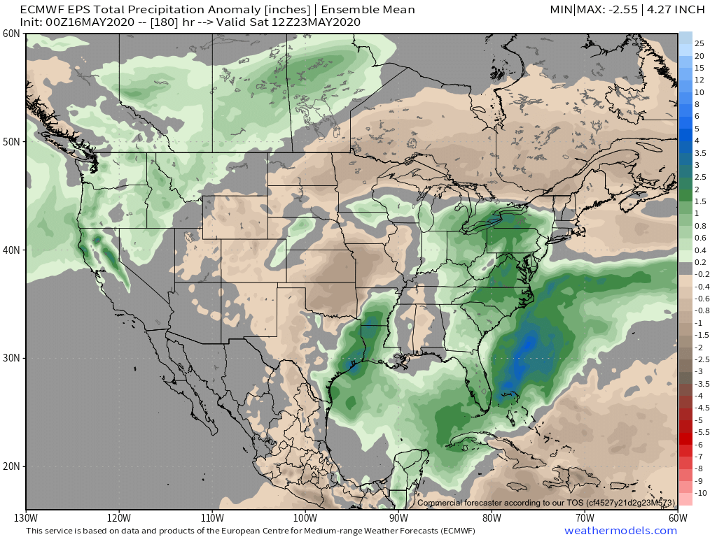
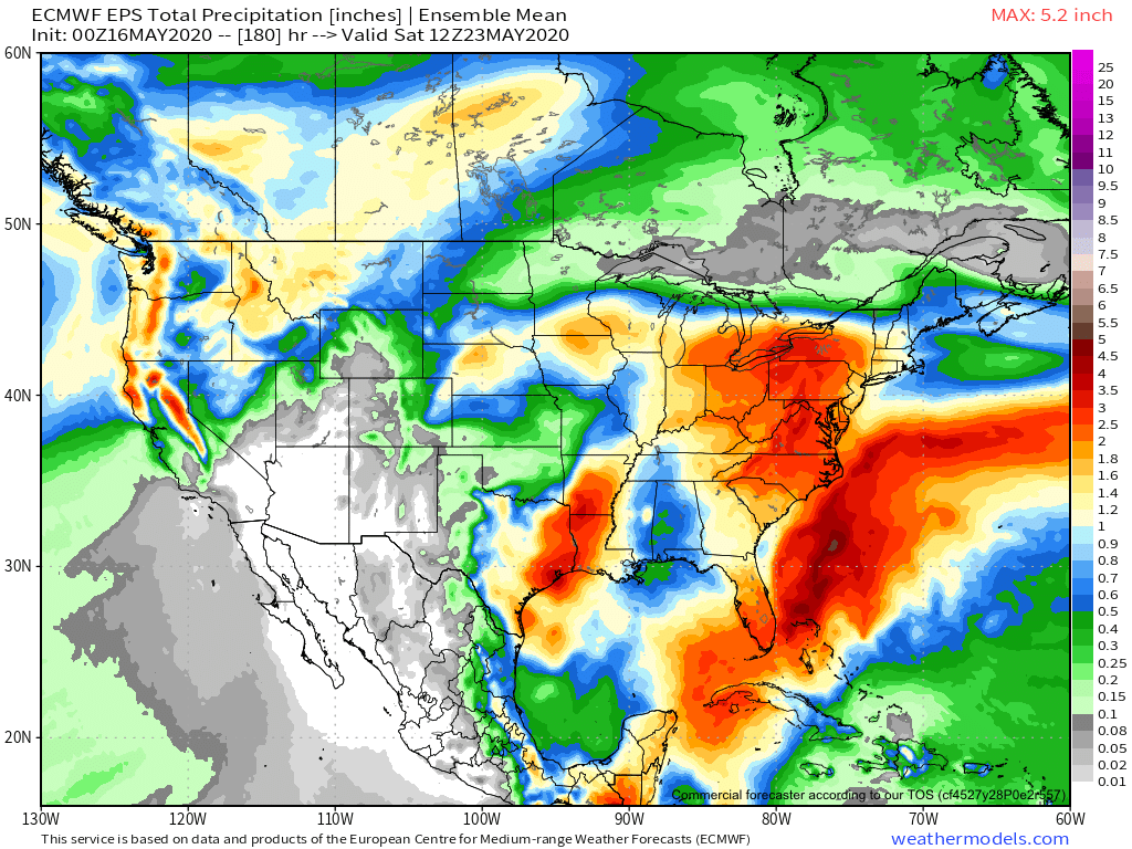
Weather conditions will begin to go downhill tonight and Sunday as periods of showers and thunderstorms develop. Locally heavy rain is expected. This is all thanks to an area of low pressure and associated cold front that will help pull in a much cooler airmass as we progress through early week. After the heavy rain threat tonight into Sunday, the showers that fall early week (associated with the upper low) will be more of the nuisance variety.
That much cooler air mass will linger through a good portion of the week before an upper level ridge expands into the area around Memorial Day weekend. This will deliver a more summer-like airmass to the immediate area.
