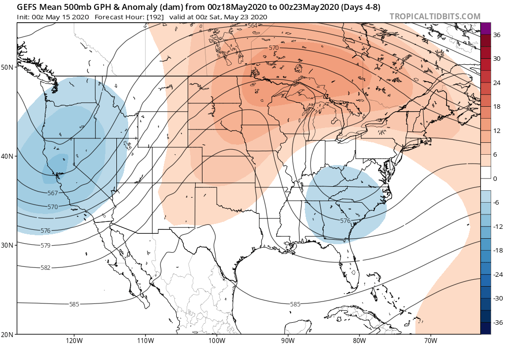
After a chilly May featuring all-time record cold to begin the month, the flip to warmer air has been welcome by many over the past 24 hours. This warmer regime will continue into the weekend before getting beaten back next week. This is due to a closed off upper level low that will actually manufacture it’s on chill across the Ohio Valley, Mid-Atlantic, and Southeast during this time frame.

Sometimes it can be like pulling teeth to get these kind of features to leave and models can struggle (case in point, this upper low was originally modeled to be located over Nova Scotia- NOT the Southeast and Mid-Atlantic)!
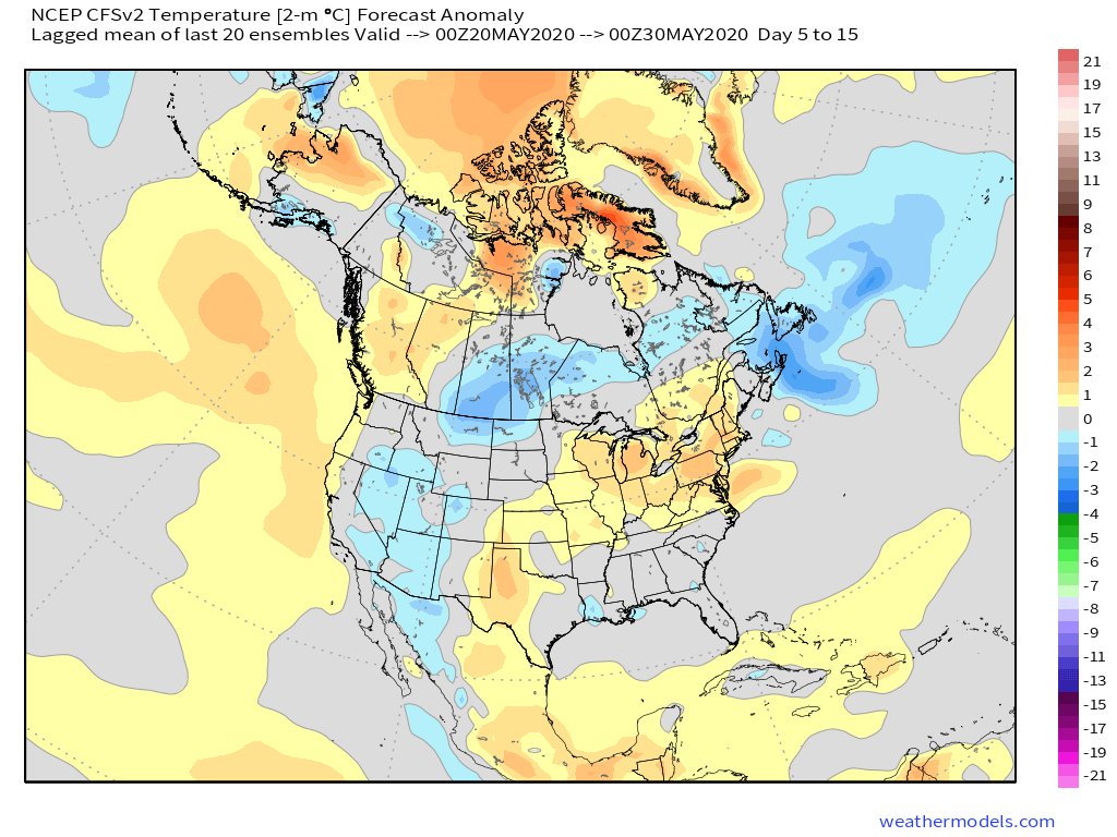
Nevertheless, we believe the one time expected surge of heat next week will only be a scenario of “delayed, not denied.” By the time we head into Memorial Day weekend, we continue to believe legitimate summer warmth will move in (85°-90° stuff).

The new CFSv2 agrees with the European ensembles above.

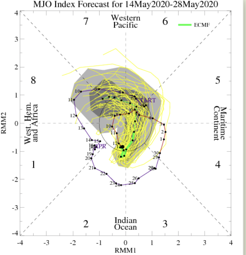
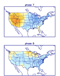
Longer range (last few days of May and early June) will depend heavily on what goes on with a combo of the MJO and EPO/ PNA. 2 of 3 of these signals argue for cooler air to return during that time period.


We shall see how it plays out, but our official lean is towards the cooler side of things after the Memorial Day heat. From a precipitation perspective, after the short-term wet period, overall dry conditions are set to return as we wrap up May.
