Weekly Highlights:
I. Additional threat of late season frost/ freeze early in the forecast period.
II. Transition in the pattern midweek signals a significant flip from the record chill across the East to one much more typical for mid-late May. Meanwhile, the West will turn much cooler.


Forecast Period: 05.10.20 through 05.17.20
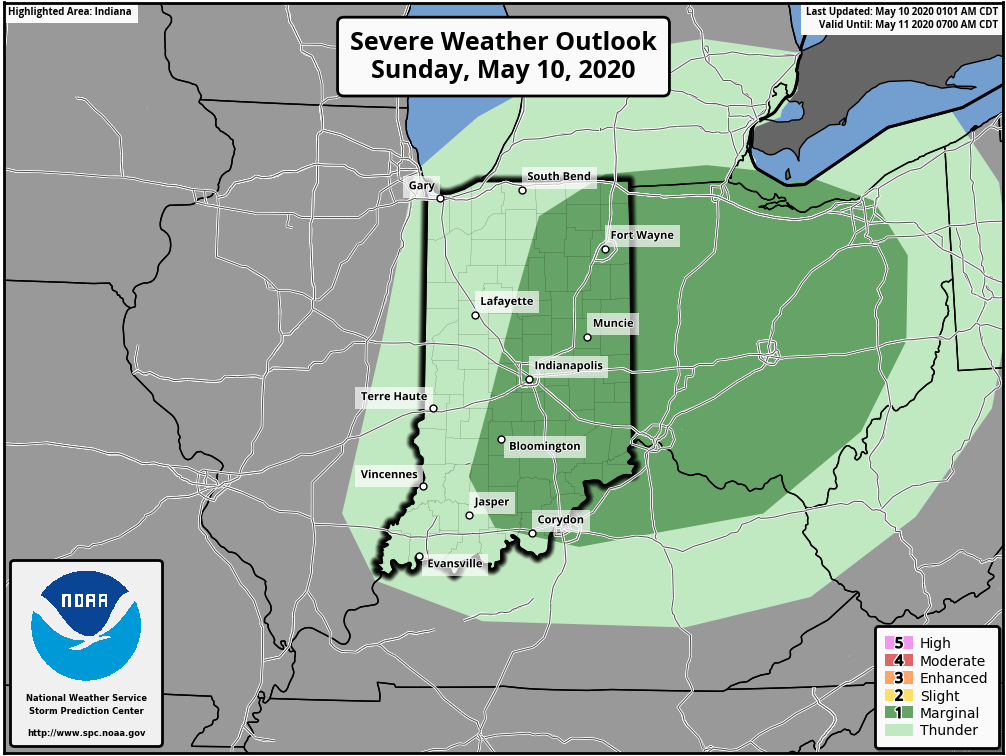
An area of low pressure and associated cold front will blast across the Ohio Valley during the next 24 hours. Ahead of the front, scattered showers are already entering the state from the west this morning. As we progress into the afternoon, we’ll watch for the potential of a couple skinny lines of thunderstorms try to develop across central and eastern parts of the state. A couple of these storms could quickly pulse to strong – severe levels and pose a threat of damaging straight line winds and hail. Once the front scoots to our east, we’ll notice a much colder (yet again) northwesterly breeze and drier conditions to open the work week. There will be a threat of another frost and freeze by Tuesday morning. Patchy frost is also possible Wednesday morning, especially across east-central parts of the state.
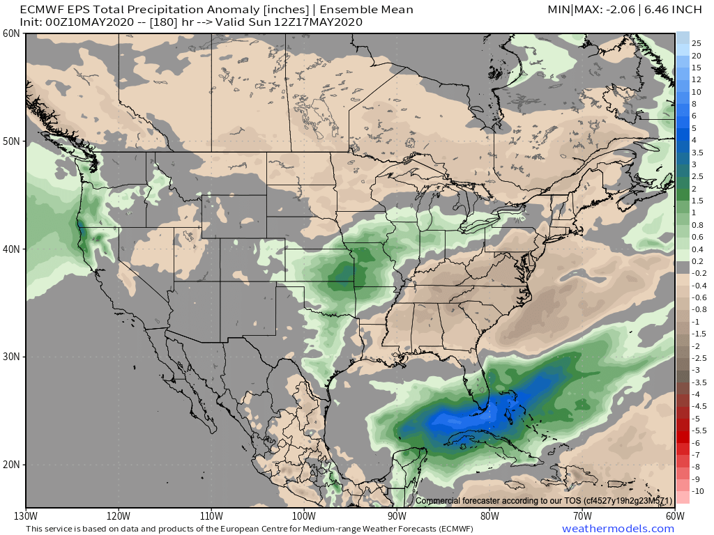
Thereafter, our region will undergo a rather significant flip in the overall pattern. As a result, an airmass much more typical of mid-May will engulf the eastern portion of the country. With the significantly warmer conditions will also come a few rounds of rain and thunder during the mid-late week stretch. Locally heavy rain is likely towards the end of the period including the threat of additional strong thunderstorms in the Thursday-Saturday time frame.
