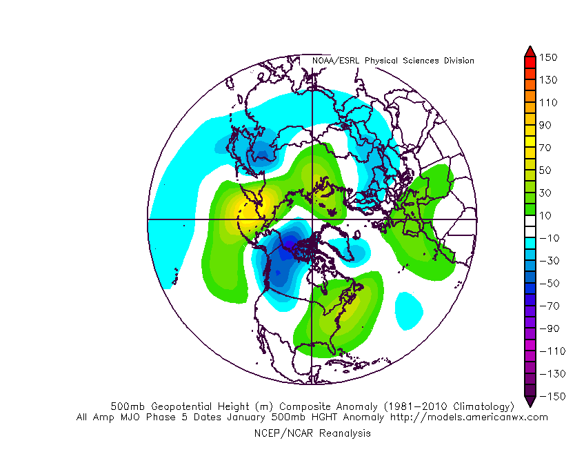
A highly amplified MJO through Phase 5 will lead to a mean trough across the west with a persistent ridge over the east coast over the next couple of weeks. Week 2 ensemble data correlates almost perfectly with the Phase 5 analog composite (albeit a bit colder in the west).


The end result will be a very active storm track across our portion of the country, sustained cold from the Plains and points west, and sustained warmth along the eastern seaboard. In between, we’ll remain in a transitional time of things with shots of warmth and cold (very “back and forth” regime, locally).

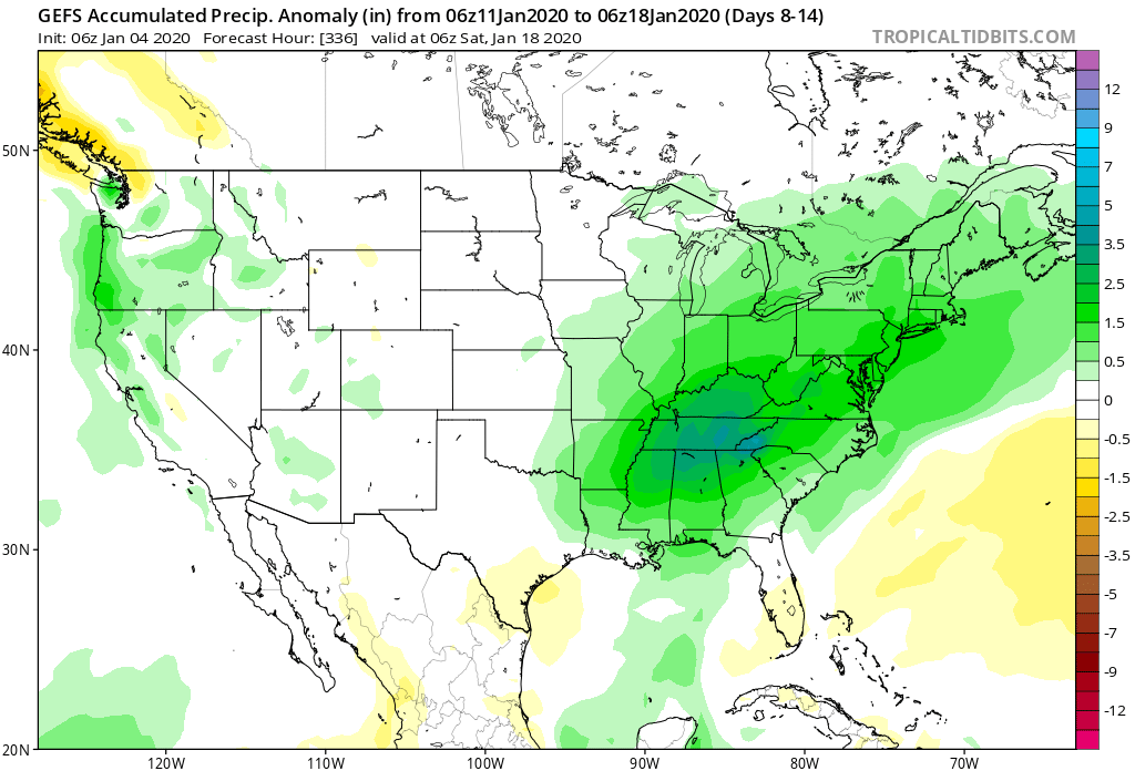
Precipitation will run well above average through 1/20, including periods of heavy rain with storm systems that track through the area.

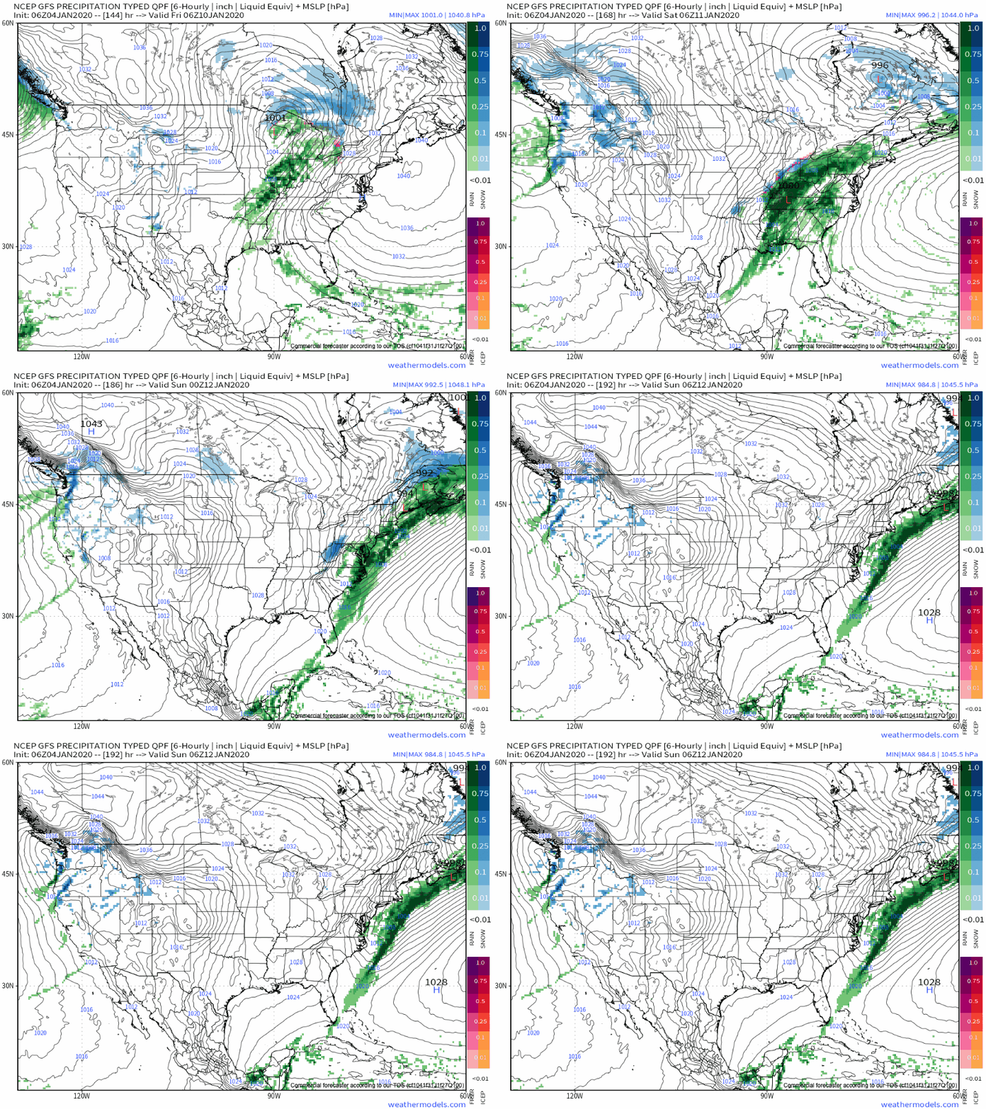
At times, we’ll need to monitor “waves” that move up along pressing boundaries into the eastern ridge. As cold periodically tries to push, it could present wintry challenges for portions of the Ohio Valley. Our first potential issue with this may present itself late next week.

We’ll have to stay tuned to see if the MJO rumbles into the colder phases or circles back through the warm phases late month. As mentioned last night, it’s also worth keeping tabs on potential Scandinavian ridging down the road.
Fun times ahead.
