A new year is here and we’ve got quite the active weather pattern to contend with over the next couple weeks (and likely beyond). Let’s time out the various features we’re tracking over the next 10 days.
1.) Thursday-Friday
An area of low pressure will develop over eastern Texas tonight and track northeast into MO Thursday night. This surface low will move over Indiana Friday. Rain will return to central Indiana Thursday afternoon and continue in an “off and on” fashion into Friday. Rainfall totals of 0.50″ to 1″ will be common across the southern half of the state, including Indianapolis.

2.) Saturday-Sunday morning
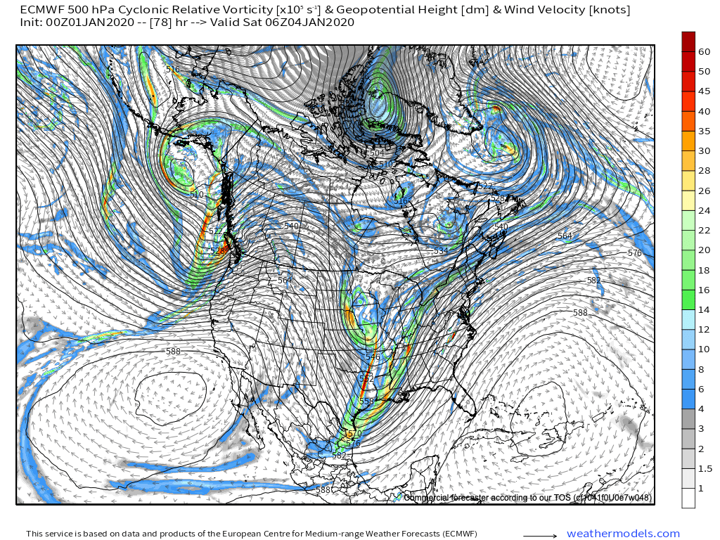
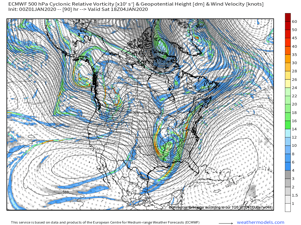
Vigorous upper level energy will sweep southeast out of the Dakotas Friday before becoming “closed off” across MO Saturday and heading into the southern Appalachians Sunday.


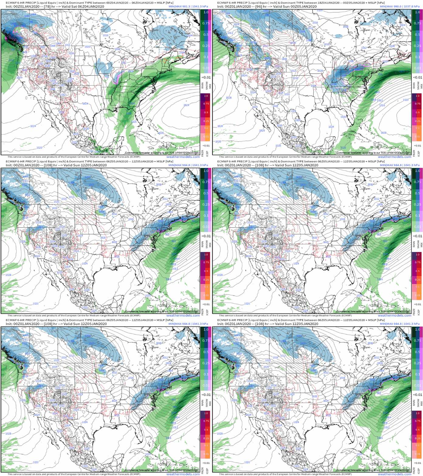
In response to this, a surface low is likely to develop across southern Indiana Friday night or Saturday morning before tracking northeast into PA Saturday night. With colder air pouring into the region, a renewed expanding area of precipitation Friday night into Saturday morning should become mixed with and change to snow across central Indiana during the day Saturday. If you have travel plans east or north into Ohio or northern IN, it’ll be important to pay close attention to future forecast updates, as this system has the potential to produce a swath of wet, plowable snowfall across the region Saturday into Sunday morning.

3.) Tuesday-Wednesday
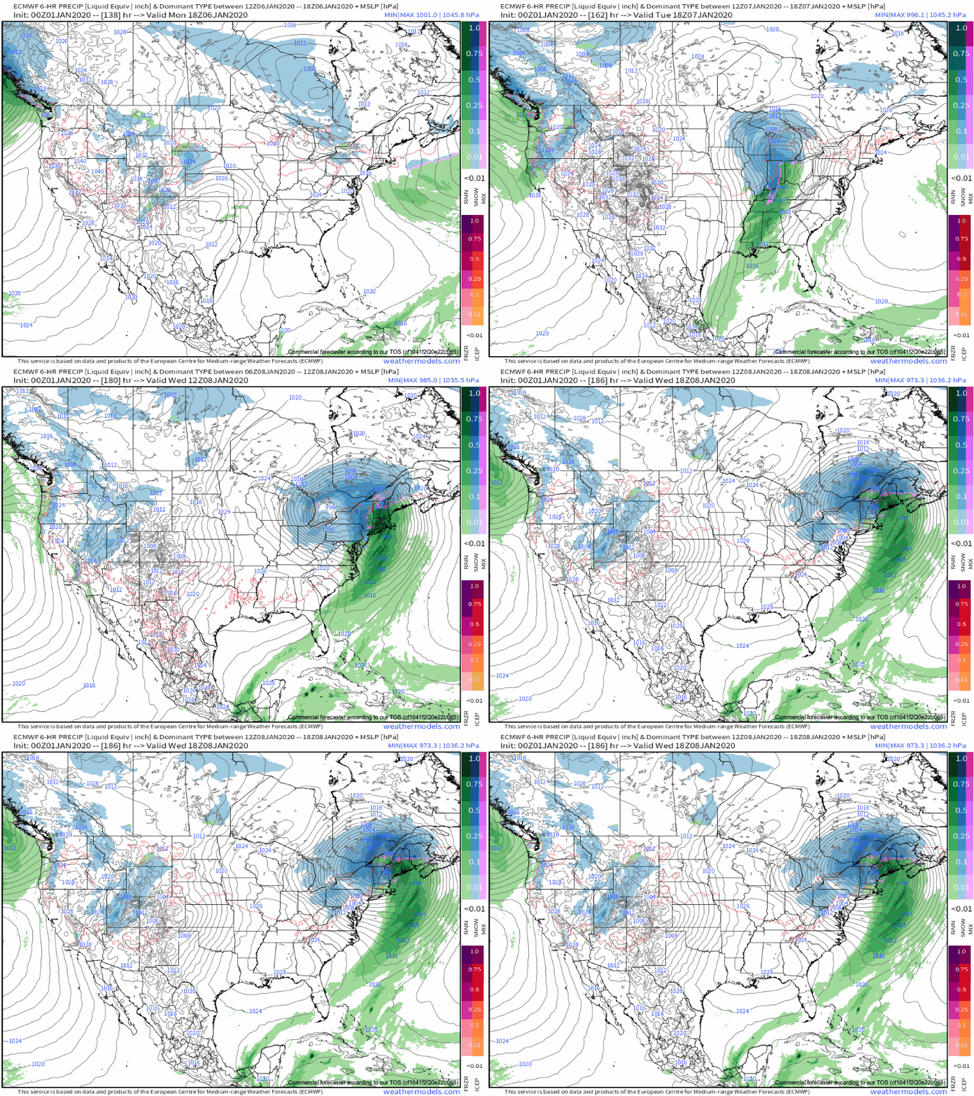
Another storm system will approach from the southwest Tuesday into Wednesday. This, too, is one to watch as the timing is particularly interesting (coming at a point where we may see a phasing of the polar and southern branches of the jet stream). There’s no reason to get “cute” from this distance on specifics, but just know another potentially potent system awaits the middle of next week and could feature additional opportunities for wintry precipitation across our neck of the woods.

