It’s been since 2013 since the Lower 48 has seen greater snow cover on the 23rd of March.

Officially, 25.4% of the Lower 48 is currently snow covered, including crucial areas that feed downstream rivers in the north-central Plains and upper Midwest.
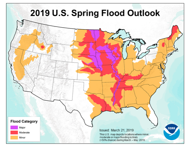
NOAA released their Spring Flood Outlook Friday. This shows major to moderate flooding expected on area rivers from the northern Plains south along the MS River. Even moderate to minor river flooding is anticipated across the east, including the Ohio Valley.
The full report can be found here.

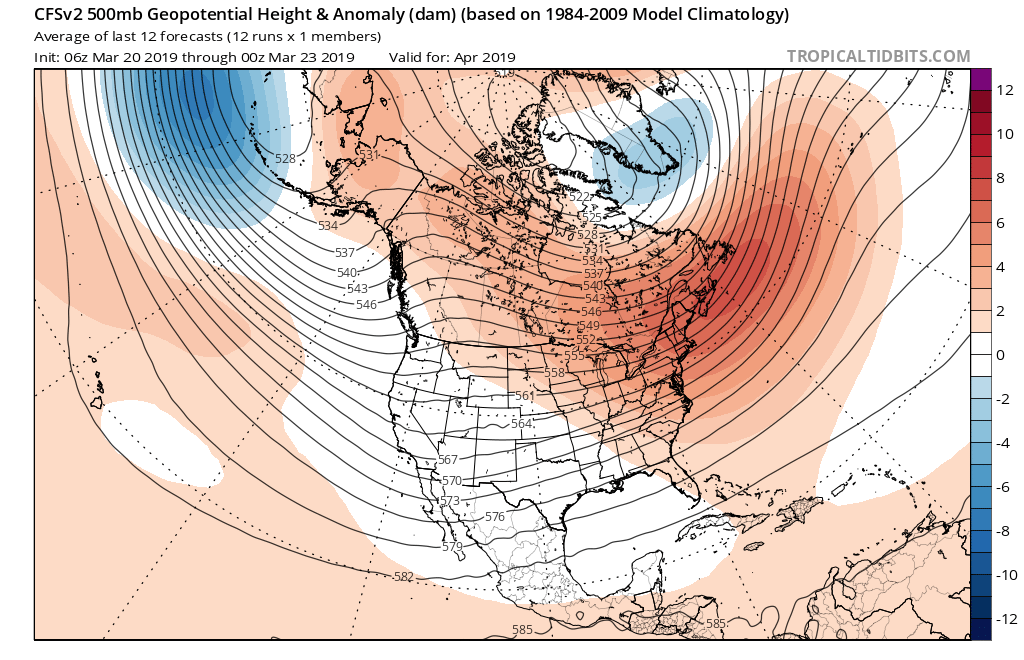
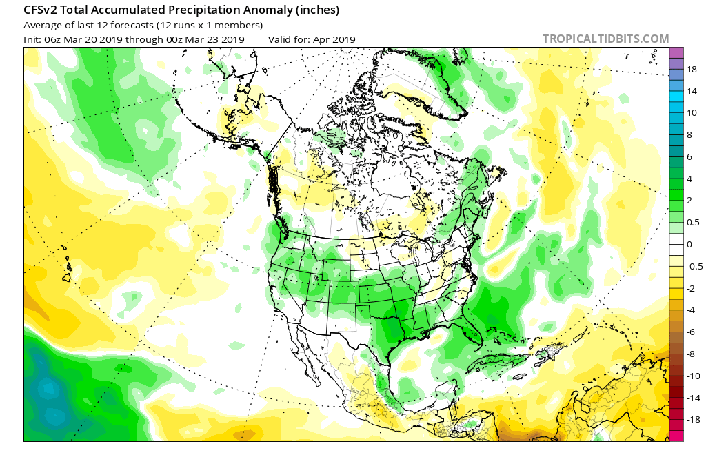
As we move into April, a ridge is expected to back west and result in an active storm track from the west into the Mid West and Great Lakes. The end result will be a favorable pattern for above average precipitation. Factor that in with the above average late season snowpack currently in place across the exact same region, and the stage is set for moderate to significant river flooding through the remainder of the spring.


More specific to central Indiana, we also expect an active spring storm track- including precipitation that is around “average” from the March through May (meteorological spring) period. As warmth expands as we move into mid-April, expect an uptick in severe weather episodes further north during the 2nd half of April into May.
