Brief: Accumulating Snow

What: Accumulating snow
When: Thursday afternoon into Friday morning
Temperatures: Upper 20s to near 30
Wind: E 5-10 MPH
Blowing/ Drifting: Non-existent to minimal

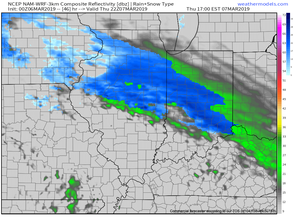
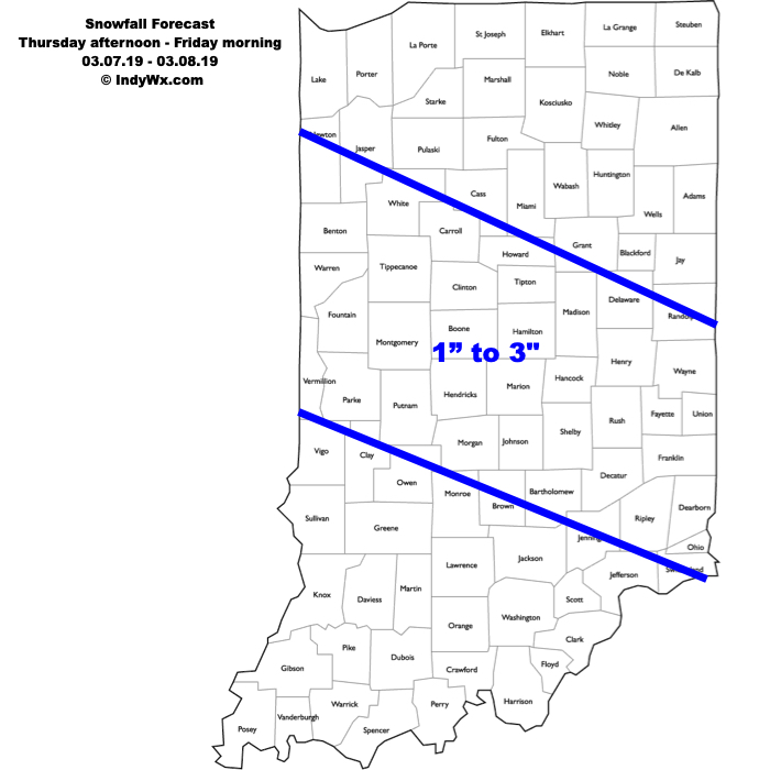
Snow will develop to our northwest tomorrow night into Thursday morning before streaking southeast across central Indiana Thursday afternoon into Friday morning. The heaviest snowfall is expected to occur Thursday afternoon into the evening hours with lighter snow falling Thursday night into Friday morning. Despite what should be moderate intensity at times, the higher March sun angle should help with accumulation on area roadways (still expecting slick and slushy travel at times during periods of heavier intensity) and the idea here is that a general 1″ to 3″ swath of snow falls in a northwest to southeast orientation during the period. Temperatures should remain fairly steady or slowly fall into the upper 20s and winds are expected to be light.
Confidence: Medium-high
Next Update: 7a Wednesday
