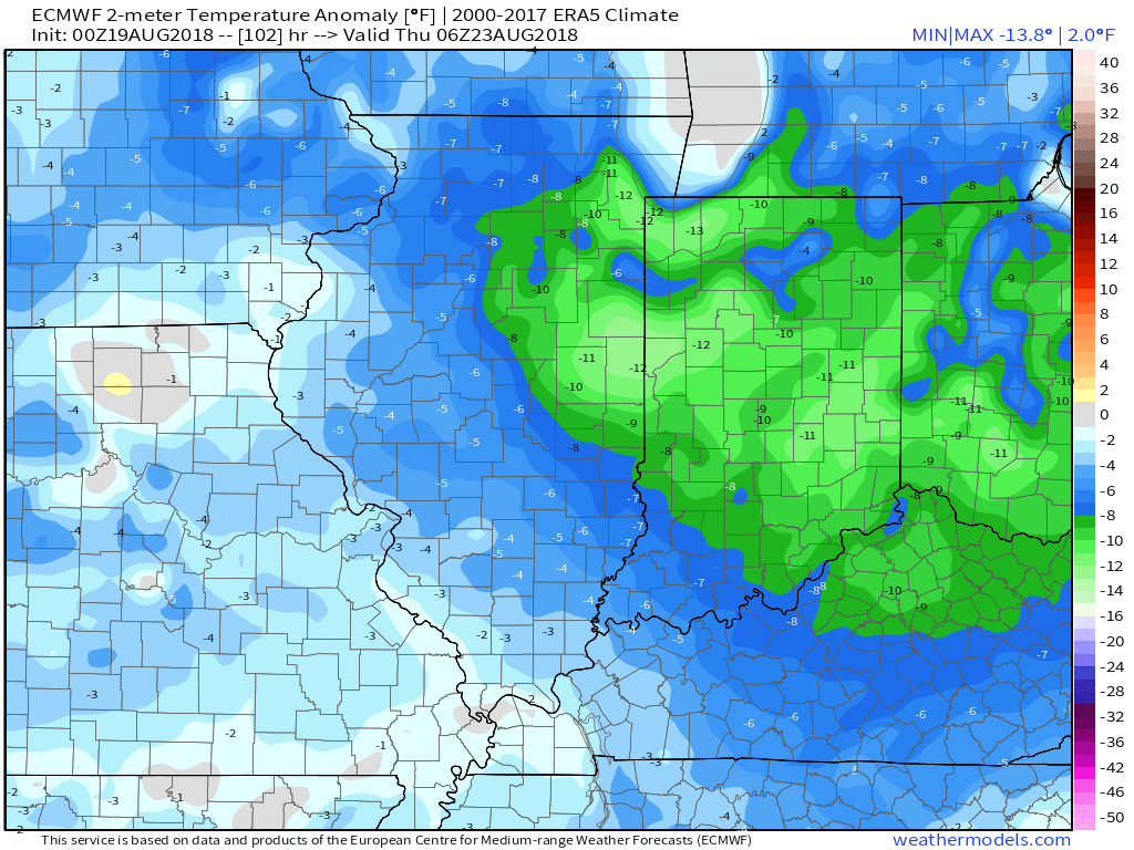
An early fall-like air mass will blow into town Tuesday night on the heels of a cold front and associated area of low pressure. Most central Indiana neighborhoods will wake up to temperatures in the 50s Wednesday through Friday mornings. A few communities may even dip into the 40s! Afternoon highs will only top out in the mid to upper 70s with dry conditions during the period.

Get ready for a “hint” of fall for the 2nd half of the work week.

Temperatures will run well below average Wednesday and Thursday.
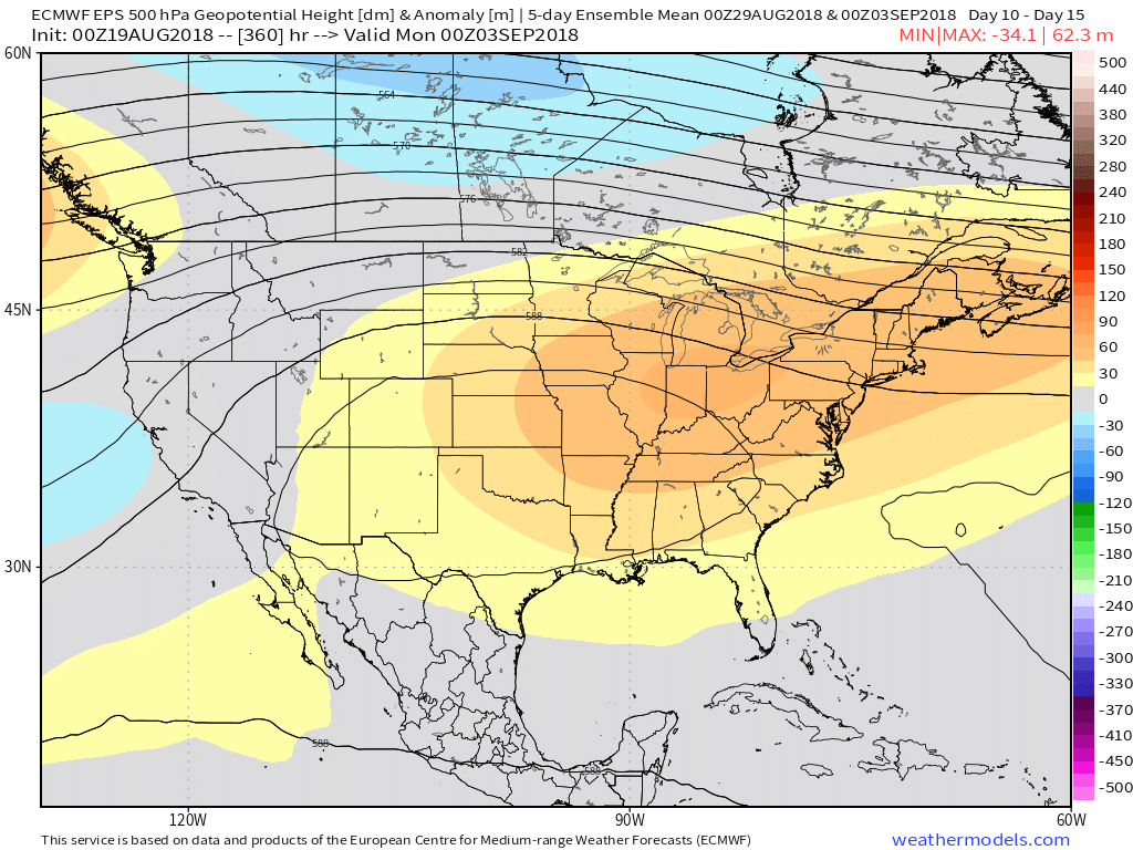
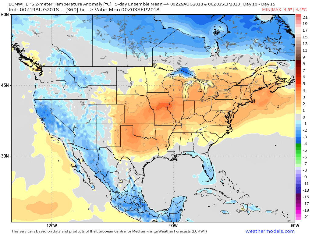
As we’d come to expect this time of year, the coming cool change won’t be a permanent “stick and hold” type deal. An upper ridge will expand as we close August and open September and the result will be renewed summer warmth just in time for the Labor Day weekend. This type of pattern should promote highs at least flirting with the 90° mark and oppressive overnight lows around 70°.


