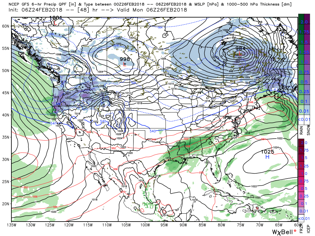
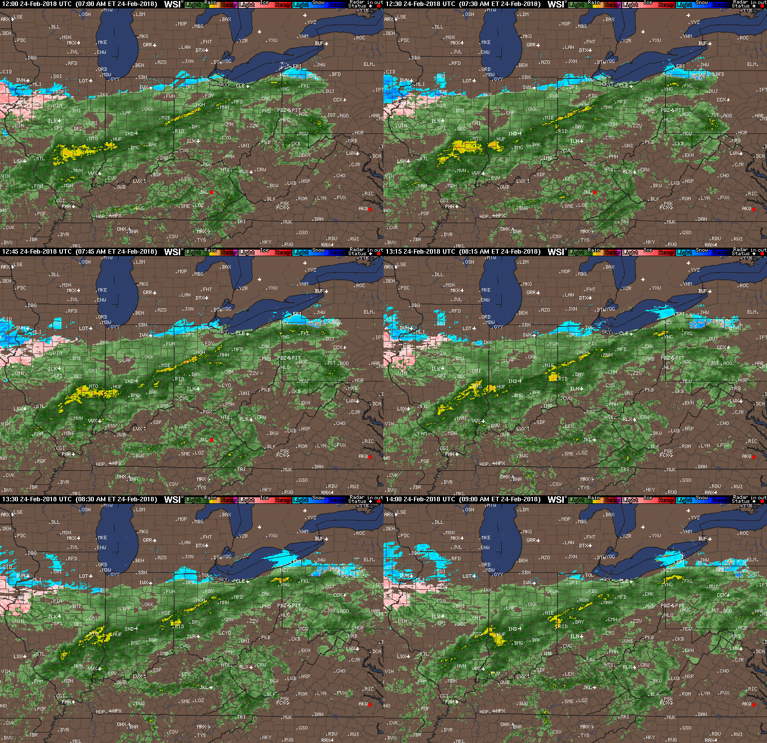
 Our Saturday morning will be dominated by soaking rains as moisture continues to stream across the Midwest and Ohio Valley, including central Indiana. Add in temperatures in the lower to middle 40s and you have our official approval to sleep in this morning. 🙂
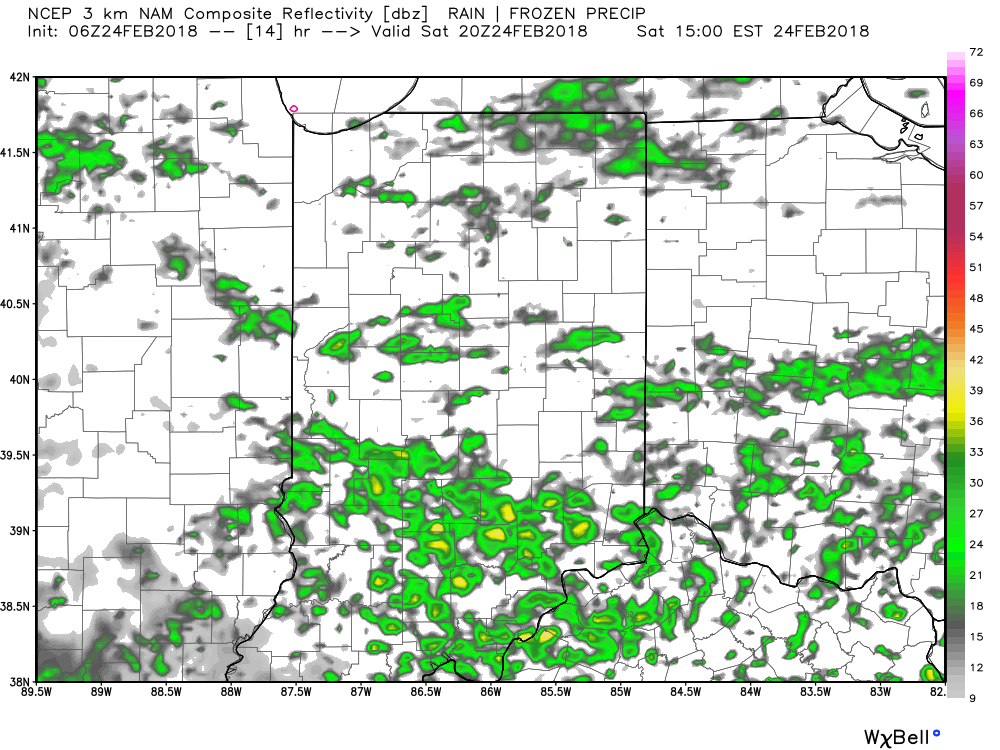
Steady rain will give way to briefly drier conditions early to mid afternoon. While scattered showers will still be present, widespread moderate to heavy rain will diminish. Here’s a look at the forecast radar at 3p:
 Widespread rain and embedded thunderstorms will return by evening, and forecast radar products at 8p and 2a Sunday show the stormy times well:
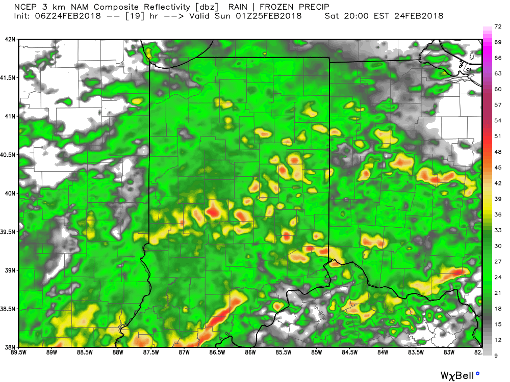
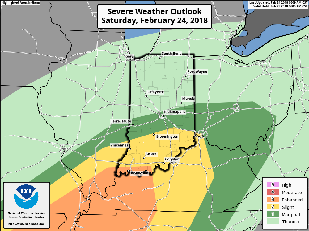
 A couple of storms may become strong to severe (especially downstate). Accordingly, the Storm Prediction Center has expanded the threat of severe weather to encompass more of the state.
We’re most concerned for the potential of stronger storms to produce damaging winds, but an isolated tornado can’t be ruled out tonight. Additionally, we’ll also have to be on guard for potential of flash flooding as storms will be capable of torrential rainfall. Heavy rain falling on already saturated soils may lead to problems in spots tonight into early Sunday.
 After early morning storms head east Sunday, high pressure will build in with drier conditions and increasing sunshine Sunday. It’ll be a very nice close to the weekend, and calm, pleasant conditions will continue as we progress through the early portions of the new work week.
