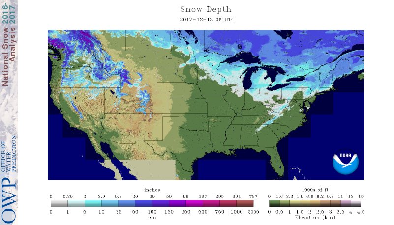
I. A look at the current snowpack shows the northwest flow nicely, and another storm is just missing central Indiana to the north and northeast this evening (not included in this morning’s snowpack update). The southern Appalachians have also been capitalizing in this northwest flow pattern, not to mention the southern stream event that dumped hefty snows on the Deep South.
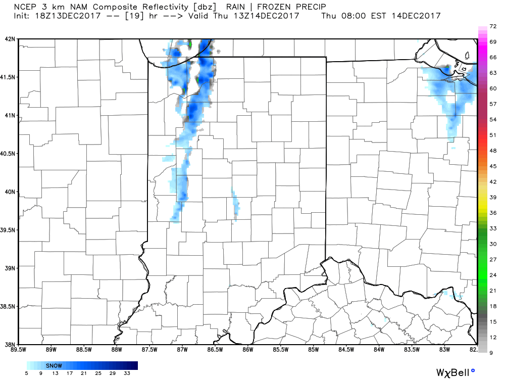
 II. While the sticking snows will miss us this go around, scattered snow showers will impact central IN overnight into early Thursday morning. There’s also still the potential of a skinny lake effect snow band to impact a narrow portion of western and north-central IN early Thursday.
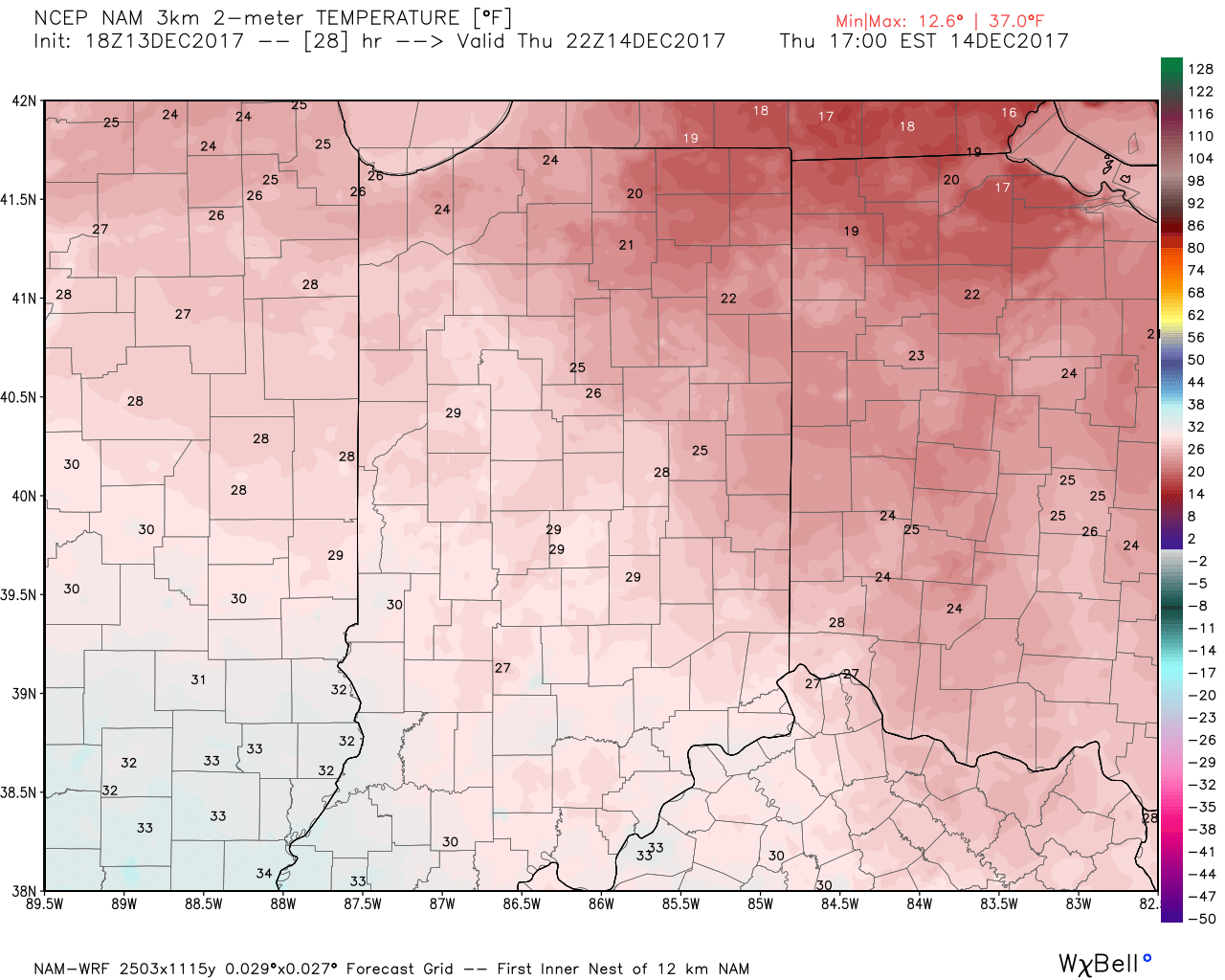
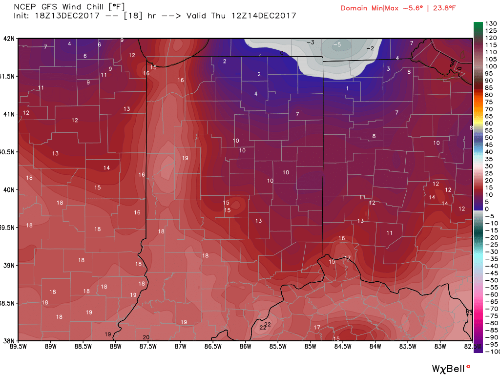
 III. Reinforcing cold air will plunge south Thursday. Highs will remain below freezing along with wind chill values in the 10s most of the day.
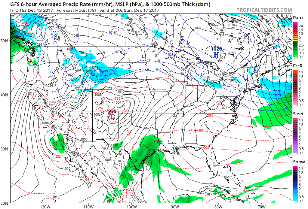
 IV: A milder southwesterly air flow will result in slightly “warmer” temperatures this weekend (mid 40s for highs Saturday) before showers arrive to close the weekend. Despite the slight relaxation of the cold, this will come with a gusty breeze over the weekend.
