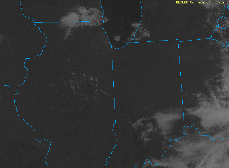
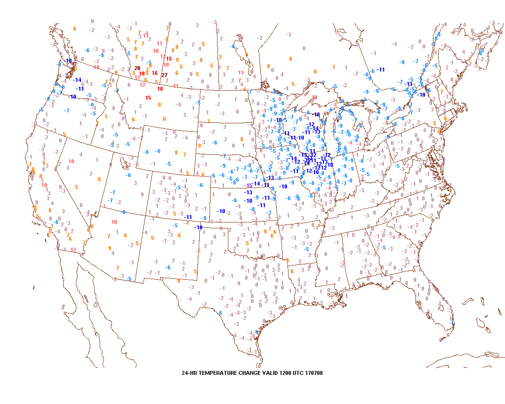
It was a stormy Friday across central Indiana, including hail, damaging winds, and localized flash flooding. Thankfully, as we open the weekend, weather conditions are much more pleasant. The surface front that helped trigger the bumpy close to the work week has pushed south and is allowing a much more pleasant (much drier and slightly cooler) air mass to ooze into the region. With the exception of patchy fog across southern Indiana, skies are mostly sunny.

Patchy fog will burn off by 10a across southern Indiana.

A cooler and less humid feel is greeting us out the door this morning.
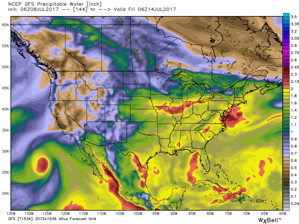
Pleasant weather will remain through the majority of Sunday, but we’ll begin to notice an uptick in humidity late in the day. This is a harbinger of things to come as a true tropical feel lifts back north. Factor in the increasing moisture levels (it’ll feel oppressive by mid-week) with increasing amounts of energy and instability and big storms will likely result.

A moisture-rich air mass will engulf the region much of the upcoming work week.
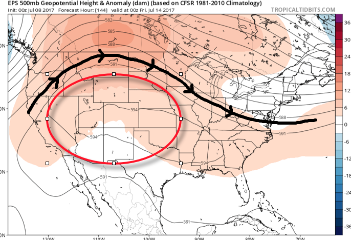
The core of the heat will be centered over the western half of the country next week and with a northwest flow aloft, we’ll have to remain on guard for individual disturbances tracking southeast into the Mid West and Ohio Valley. These will help trigger more widespread storm coverage from time-to-time through the week. Similar to the storms yesterday, large hail, damaging winds, and flash flooding are the biggest concerns with these storm complexes. 7-day rainfall totals through late-week will feature widespread 2″-3″ across central Indiana, including locally heavier amounts of 3″-6″ in spots where storms train. We’ll have to sure-up specific storm timing as we get closer.

As we look ahead, timing, once again, may be our friend, as modeling currently suggests a drier regime returns by next weekend.
Make it a great Saturday, friends! More later!
