 Highlights:
- Morning showers
- Snow showers late tomorrow night
- Arctic air arrives
- Weekend storm system
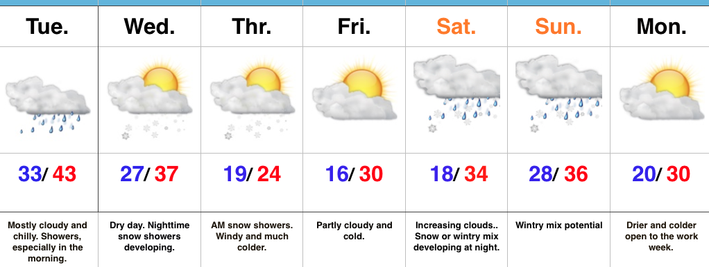
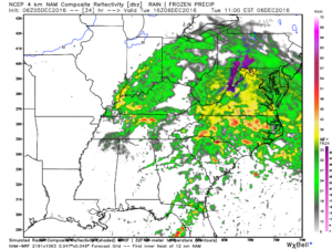
Find That Heavier Winter Gear…Our next area of low pressure will push northeast between now (north-central Gulf Coast) and Tuesday night (central Appalachians). Most of the widespread rain will fall across southeast IN this go around, but enough moisture will spread west to result in scattered to numerous showers Tuesday morning. With temperatures in the lower to middle 30s, don’t be surprised if a sleet pellet or snow flake mix in at times. All in all, expect another “raw” day. Drier times will await for the evening rush home.
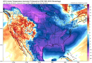
Wednesday will feature mostly dry conditions, but the arctic hounds will be howling to our northwest. Snow showers will precede this arctic blast Wednesday night and Thursday morning and may be enough to accumulate for some. While models remain drier than we’d expect (given the overall set-up), we may “eek” out just enough moisture to coat the ground up for some. Thursday will be a frigid day, including wind chills in the single digits. Heavier winter gear will be required to wrap up the work week.
The weekend features more “fun and games” as an area of low pressure attacks stale cold air left over from the late week arctic push. Is the cold air deep enough to create wintry problems or does the southerly flow help scour out the chill and lead to more of a liquid event. Stay tuned.
Upcoming 7-Day Precipitation Forecast:
- Snowfall: 1″ – 3″
- Rainfall: 0.50″


