The morning is off to a sunny, muggy, and warm start. Temperatures will rise into the lower 90s this afternoon, but when we look at heat indices, it’ll feel like around 100 degrees across many central IN neighborhoods.
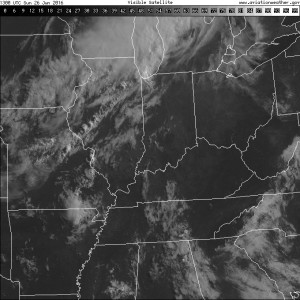
The visible satellite shows the sunny skies in place right now, but we note the cloud deck off to the northwest. That’s in association with a frontal boundary that will press through our region tonight.
 A line of thunderstorms will develop later this afternoon and a few of these could be strong to severe as they push to the south. Large hail and damaging straight line winds are of greatest concern. We think best chances of thunderstorms across central IN will come during the mid to late afternoon hours into the early evening.
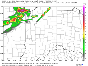

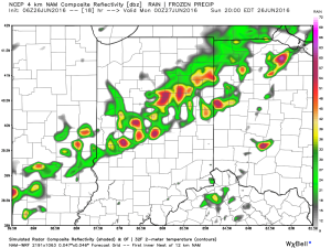
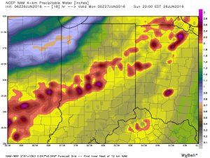
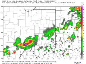 The air mass is loaded with moisture today. In fact, precipitable water values will zoom to 2″+ this afternoon and suggest the threat of torrential rainfall with any storm that develops.
 Once to Tuesday, a MUCH cooler, drier air mass will arrive on the scene and help set up an unseasonably cool close to the month.
