A cold front will slice into a warm and very humid air mass this afternoon. Accordingly, we anticipate scattered strong storms to develop after the lunchtime hour, continuing into the early evening.

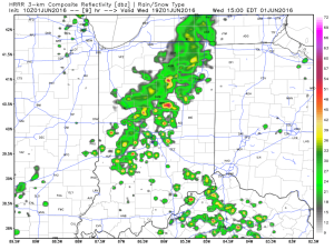 As precipitable water values climb to around 2″, locally heavy rainfall will accompany any storms that develop.
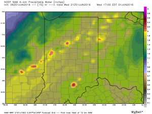 We caution that the key word here is “scattered.” There will be “haves and have nots” when it comes to rainfall totals by tonight. Some neighborhoods may receive less than 0.10″ while others receive over 1″.
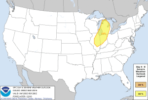
As we look ahead, active times continue going into the weekend, with the potential of strong thunderstorms Saturday as an anomalous trough digs southeast into the Ohio Valley.
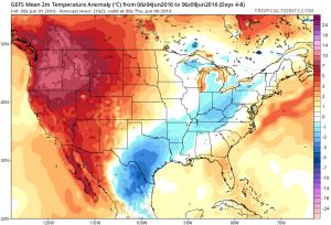
 Unseasonably cool air will follow for the mid range.
 A fresh 7-day will be up later today! Have a nice Wednesday, friends.
