 Highlights:
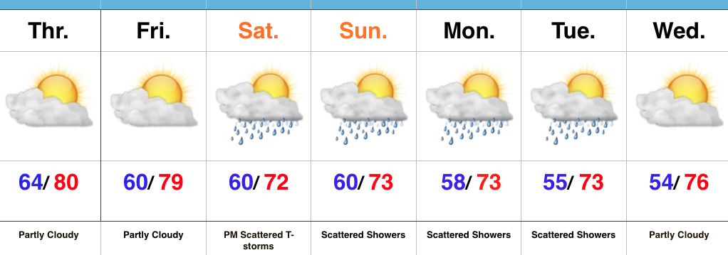
- Drier close to the work week
- Strong storm chance Saturday PM
- Unsettled and cooler early next week
Turning Cooler Over The Weekend…A cold front tapped into available moisture and resulted in locally heavy rain Wednesday afternoon and evening. In some spots, as much as 2″ of rain fell in a very short period of time. We’ll begin to dry things out to wrap up the work week, along with partly cloudy and less humid conditions.
An upper trough will dig into the Ohio Valley Saturday and could help spark strong to potentially severe thunderstorms for portions of the region Saturday afternoon and evening. We’ll keep a close eye on things over the next day or two.
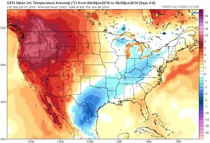
We’ll turn significantly cooler over the weekend into early next week. With plenty of upper level energy around the region, we’ll have to mention the chance of a scattered shower into early next week. Dry conditions return by the middle of next week.
Upcoming 7-Day Precipitation Forecast:
- Snowfall: 0.00″
- Rainfall: 0.50″-0.75″

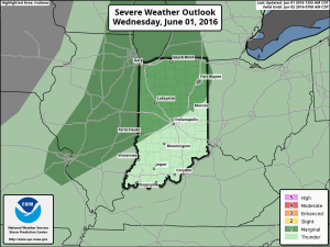
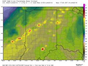
 As precipitable water values climb to around 2″, locally heavy rainfall will accompany any storms that develop.
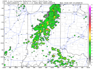
 We caution that the key word here is “scattered.” There will be “haves and have nots” when it comes to rainfall totals by tonight. Some neighborhoods may receive less than 0.10″ while others receive over 1″.
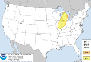 Unseasonably cool air will follow for the mid range.
 A fresh 7-day will be up later today! Have a nice Wednesday, friends.