June 2016 archive

Enjoy The Dry Time While We Have It…

Screen Shot 2016-06-29 at 6.18.41 PMHighlights:

  • Pleasant air in the short-term
  • Storm chances Friday
  • Widespread soaker

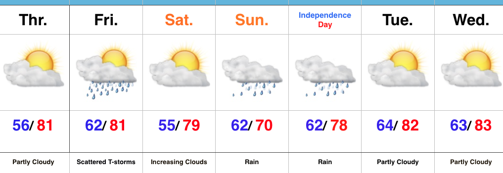
Looking Increasingly Wet For The Holiday Weekend…High pressure will supply continued dry times Thursday, but clouds will increase during the evening and give way to scattered showers and embedded thunder Friday. This doesn’t look like a huge deal, but don’t be surprised by rain and/ or a clap of thunder to close the work week.  That said, there will be more dry time than wet Friday.

As we rumble into the long Independence Day weekend, confidence continues to increase for a widespread soaking rain to develop.  Thankfully, Saturday still looks mostly dry, but we think clouds will be on the increase late in the day, followed by rain overspreading the region from west to east as Sunday afternoon approaches.  Widespread rain should continue into Monday.  We still have questions on timing and precise placement of heaviest rains (2″+ totals), but it’s safe to say most, if not all, of the region can expect a long-duration rain event developing Sunday.  Stay tuned.  It’ll also be cool.  Areas where heaviest rains set up Sunday likely won’t climb out of the 60s.

Drier air will return late Monday into the middle of next week, but we caution that another wet weather maker appears to have eye on the region beginning next Thursday.

Upcoming 7-Day Precipitation Forecast:

  • Snowfall: 0.00″
  • Rainfall: 1.5″-2.5″

Permanent link to this article: https://indywx.com/2016/06/29/enjoy-the-dry-time-while-we-have-it/

Long Independence Day Weekend Taking A Wet Turn…

A cold front will slide through central IN Friday, but heavy rain and widespread storms aren’t expected as the front slides through the region. Instead, we’ll keep mention of scattered showers before drier air returns Saturday (with lots of sunshine).

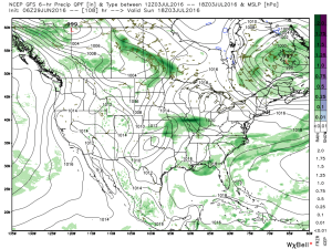
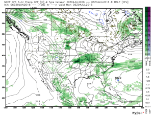
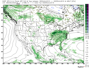
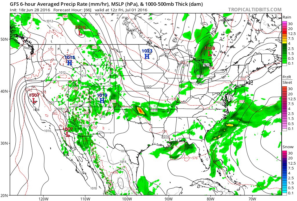
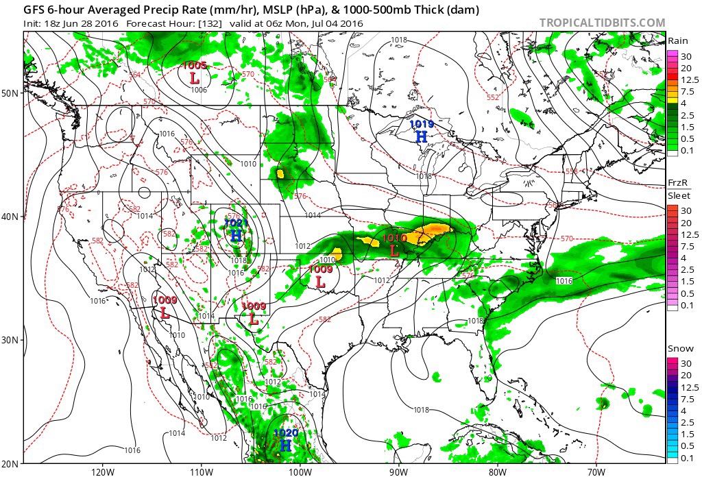
For the purpose of this post, we’re more focused on the all-important Sunday-Monday forecast. Sunday will likely dawn dry, but trends are for wetter times late Sunday into Monday.  A slow moving area of low pressure is forecast to track out of the central Plains Sunday into the Ohio Valley Monday. Copious moisture will be affiliated with this area of low pressure, including a severe threat to the south of the storm track.  Heavy rainfall will fall along and north of the track of the low.  While we still have a couple days to fine tune things, it’s becoming increasingly likely that portions of the forecast area (especially southern and central areas) are impacted by heavy rain later Sunday into Monday.

4

5

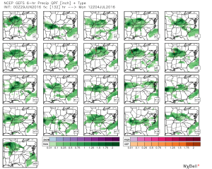
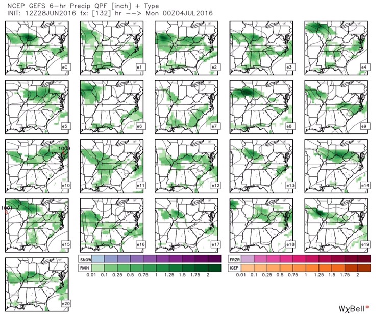
6We note ensemble support, as well.

3Rain totals will likely be hefty for some, including widespread 2″+ totals where the axis of heaviest rain falls.
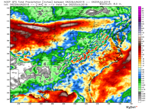
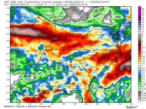
1

2Stay tuned as we continue to look over data and update the important Independence Day weekend forecast.
Permanent link to this article: https://indywx.com/2016/06/29/long-independence-day-weekend-taking-a-wet-turn/

Catching Up On Tuesday Night…

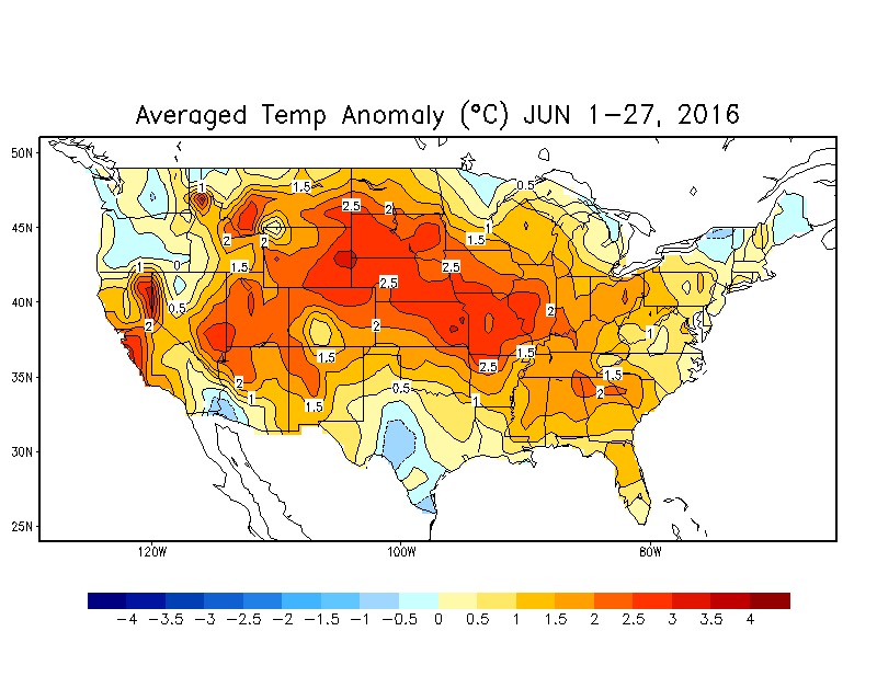
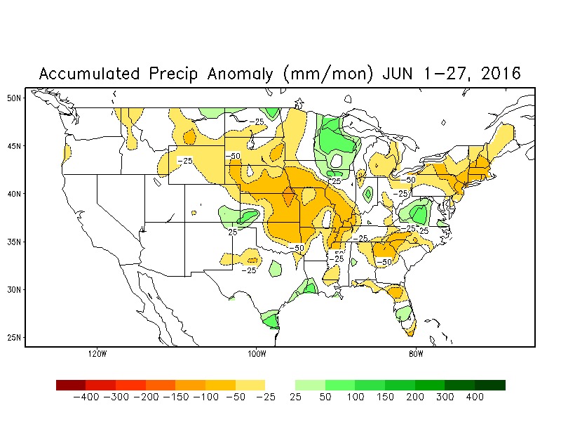
June to date is running warmer (+3.6°) and wetter (+0.71″) than normal in Indianapolis.


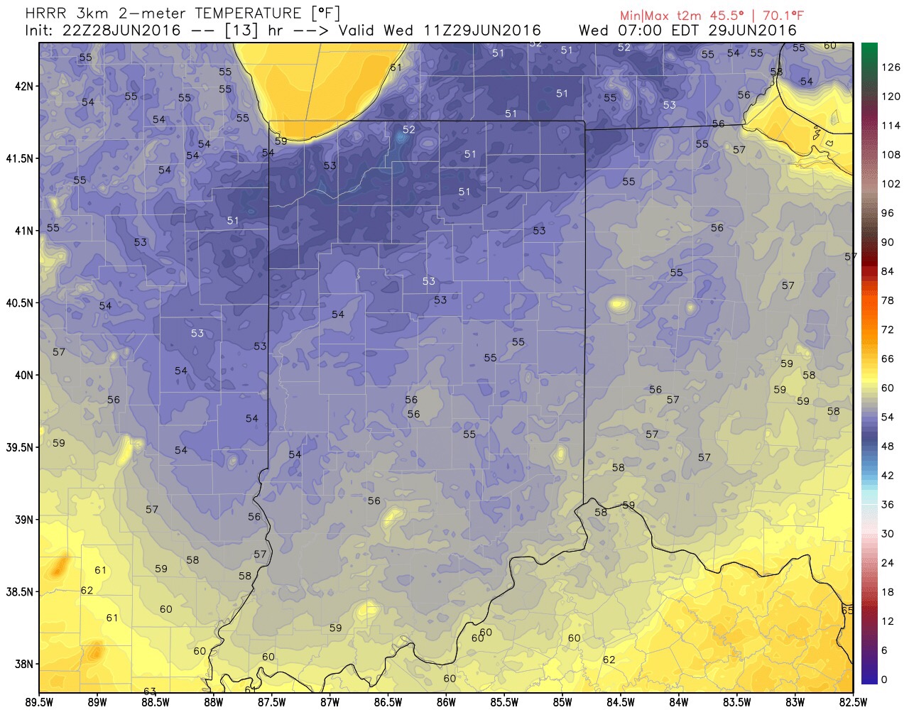
That said, drastic changes have taken place over the past 24 hours for the cooler and drier. In fact, as we write this, many central IN neighborhoods are enjoying temperatures in the lower 60s already at the 10 o’clock hour. An unseasonably cool night is in store with widespread low-mid 50s come Wednesday morning. (Anyone else craving fall)?!🍂


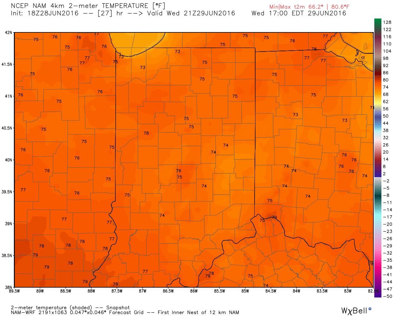
Highs Wednesday afternoon will only reach the upper 70s for most.


Our next chance of rain will arrive on scene to close the work week, however, moisture return still doesn’t look terribly impressive. We’ll continue advertising widely scattered coverage Friday. 


The plot thickens as we roll into the crucial Independence Day weekend. Latest data suggests a hefty rain storm will be in our general vicinity, but we caution many details have to be ironed out. Our forecast, locally, Sunday-Monday may differ drastically over a relatively short piece. Fine tuning on track, timing, and amounts will have to be adjusted.


GFS ensemble members also show the challenging times ahead.


Stay tuned! In the meantime, get those window opens and enjoy the weather! 

Permanent link to this article: https://indywx.com/2016/06/28/catching-up-on-tuesday-night/

Monday Evening Video Update…

Cooler, more refreshing times are building in.  Temperatures come mid week will have you asking “Is this late June?!”

You must be logged in to view this content. Click Here to become a member of IndyWX.com for full access.  Already a member of IndyWx.com All-Access?  Log-in here.

Permanent link to this article: https://indywx.com/2016/06/27/monday-evening-video-update-8/

Refreshing Feel On The Way…

Screen Shot 2016-06-27 at 8.35.11 AM

Highlights:

  • Isolated PM storm
  • Drier and much cooler air coming
  • Late week storm chance

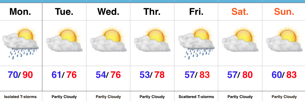
Much Cooler Weather On Deck…A secondary cold front will slip through central IN this evening. While most of today will be rain-free, an isolated to widely scattered shower or storm can’t be ruled out as the front moves through later this evening.  Following the frontal passage, an unseasonably cool air mass will pour into the area and set up a very pleasant mid week stretch.  Hard to beat lower-middle 50s at night and 70s during the day in late June.

Our next chance of rain and storms will arrive Friday.  Early indications as of now suggest dry conditions and pleasant temperatures going into the long Independence Day weekend.

Upcoming 7-Day Precipitation Forecast:

  • Snowfall: 0.00″
  • Rainfall: 0.25″-0.50″

Permanent link to this article: https://indywx.com/2016/06/27/refreshing-feel-on-the-way/

PM Strong Storms…

The morning is off to a sunny, muggy, and warm start.  Temperatures will rise into the lower 90s this afternoon, but when we look at heat indices, it’ll feel like around 100 degrees across many central IN neighborhoods.

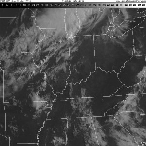
The visible satellite shows the sunny skies in place right now, but we note the cloud deck off to the northwest.  That’s in association with a frontal boundary that will press through our region tonight.

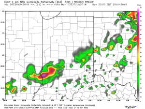
VisA line of thunderstorms will develop later this afternoon and a few of these could be strong to severe as they push to the south.  Large hail and damaging straight line winds are of greatest concern.  We think best chances of thunderstorms across central IN will come during the mid to late afternoon hours into the early evening.
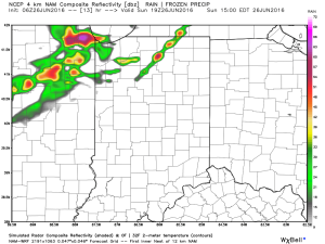
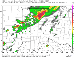
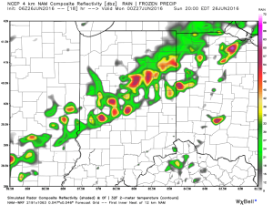
3p

6p

1

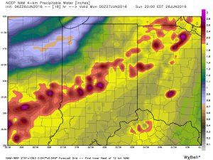
11pThe air mass is loaded with moisture today.  In fact, precipitable water values will zoom to 2″+ this afternoon and suggest the threat of torrential rainfall with any storm that develops.
2Once to Tuesday, a MUCH cooler, drier air mass will arrive on the scene and help set up an unseasonably cool close to the month.
Permanent link to this article: https://indywx.com/2016/06/26/pm-strong-storms/

Fantastic Saturday!

Screen Shot 2016-06-25 at 8.58.02 AMHighlights:

  • Beautiful Saturday
  • Storms return Sunday
  • Much cooler next week

Couldn’t Ask For Better Weather…After a week filled with multiple days of rain and storms, we’re rewarded with simply phenomenal weather today!  Dry conditions and mostly sunny skies will combine with lower humidity and highs in the mid/ upper 80s to create a great day to be outdoors.

Humidity will return Sunday and a frontal boundary will press in during the afternoon.  Storm chances will be on the rise and a strong to severe storm can’t be ruled out.  While storm coverage won’t be as widespread as this past week, we’ll keep an eye on the radar tomorrow evening.

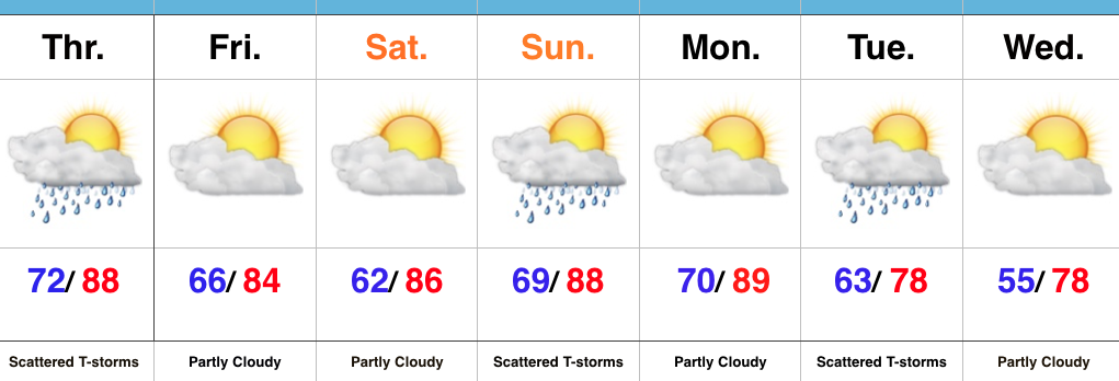
The big story next week is the MUCH cooler air mass that will blow into town.  A shower will accompany the unseasonably cool air Tuesday before we return to mostly dry conditions for the middle of the week.

Upcoming 7-Day Precipitation Forecast:

  • Snowfall: 0.00″
  • Rainfall: 0.25″-0.75″

Permanent link to this article: https://indywx.com/2016/06/25/fantastic-saturday/

Drier Air Works In Later This Evening; Eyeing A Cool Close To The Month…

Screen Shot 2016-06-23 at 7.59.42 AMHighlights:

  • Stormy times later today, especially south
  • Drier air mass works in
  • Storms return Sunday
  • Cooler to close the month

The Clean Up Begins…It was an active (and long) night across central IN as storms rumbled through.  Thankfully, the clean up will take place with dry conditions today for most of us.  For our southern viewers, we expect more widespread thunderstorms to fire during the afternoon and evening hours as a frontal boundary drops south.  We think most of central IN is dry today.

A drier, more refreshing air mass will filter into the region to close the week and head into the weekend.  Sunshine will prevail.

Warmth and humidity will be on the uptick for the second half of the weekend and storms will be associated with the moisture return.  Saturday is definitely the pick of the weekend!

Cooler times loom to wrap up the month…

Upcoming 7-Day Precipitation Forecast:

  • Snowfall: 0.00″
  • Rainfall: 0.50″-1.00″

Permanent link to this article: https://indywx.com/2016/06/23/drier-air-works-in-later-this-evening-eyeing-a-cool-close-to-the-month/

Video Update On Tonight’s Severe Weather Event…

You must be logged in to view this content. Click Here to become a member of IndyWX.com for full access.  Already a member of IndyWx.com All-Access?  Log-in here.

Permanent link to this article: https://indywx.com/2016/06/22/video-update-on-tonights-severe-weather-event/

Wednesday Morning Update…

The first of two waves of showers and thunderstorms is moving through the region this morning.  It’s the second wave of storms this evening/ tonight that has most of our attention.

The Storm Prediction Center has included more of central IN in a Moderate Risk of severe weather with the morning update.

IN_swody1All modes of severe weather are possible this evening and tonight, including tornadoes, hail, and damaging straight line winds.  Localized flash flooding is also possible where storms train.

Specific timing remains in question and we’re still not confident in the way short-term model data is handling the situation.  Fine tuning will be required as we move into the afternoon hours.

Once we rid the morning storms, clearing should develop for the afternoon and help boost temperatures into the middle 80s.  Sunshine is a bad thing this afternoon.  It won’t take much to destabilize things and ignite the second round of storms to our northwest this evening (southern WI/ northern IL).  That second round of storms is the one expected to pack a punch for some as they race southeast.

Have a means to get the latest weather information later today and ensure your family’s severe weather plan is in place.

Much more later this afternoon!

Permanent link to this article: https://indywx.com/2016/06/22/wednesday-morning-update-2/

IndyWx.com