- Cold with flurries; scattered snow showers to close the work week
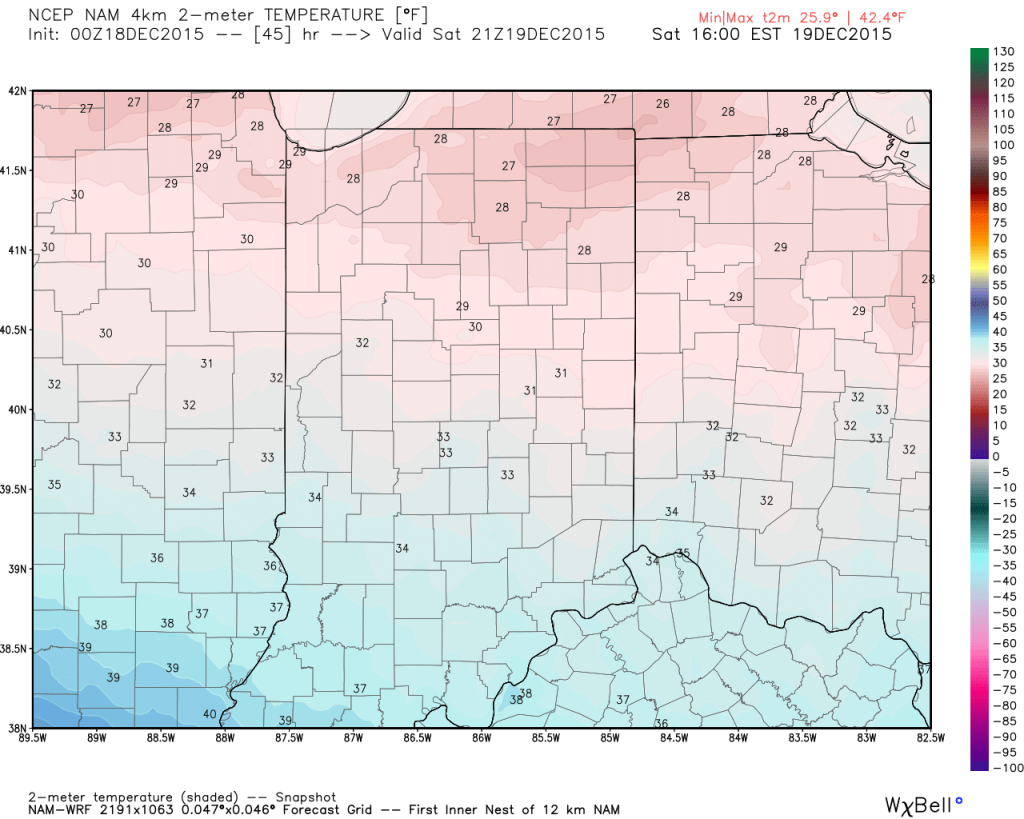
- Dry weekend ahead
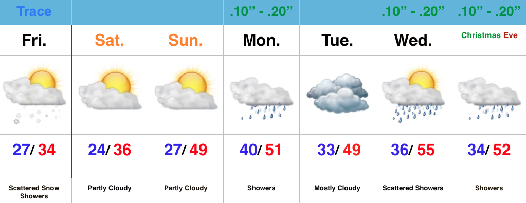
- Mild, unsettled Christmas week
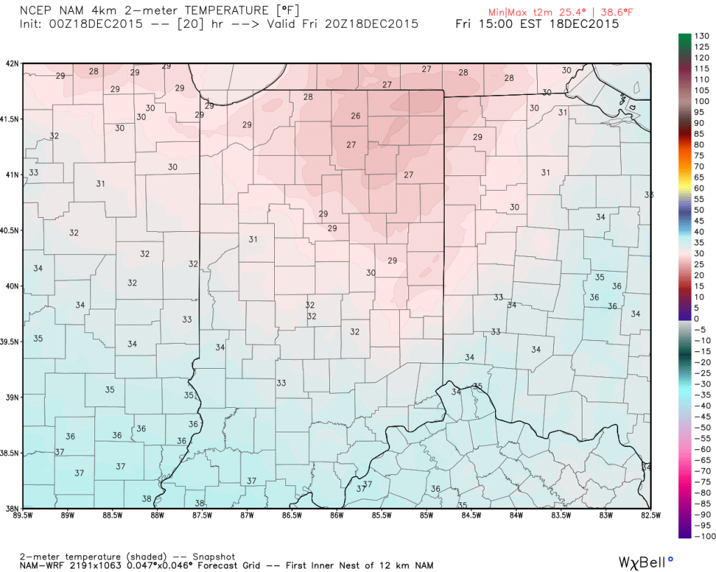
Well that was a nice dose of reality across the region Thursday as temperatures remained in the lower to middle 30s with a gusty breeze in play all day. Even a few flurries were reported across the northern ‘burbs Thursday.
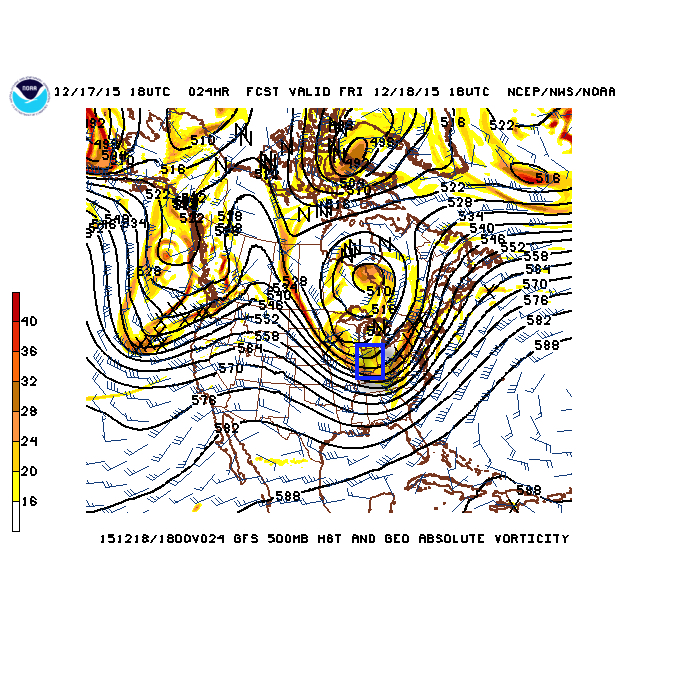
Today will be colder and more blustery with scattered snow showers, particularly across the northeastern portions of the state, downwind of the Lake. Elsewhere, even folks across central IN can expect a snow shower Friday afternoon/ evening as upper level energy teams up with arctic air.

Friday’s 500mb chart shows upper air energy around to ignite scattered snow showers. Source: NCEPCold air will be with us both Friday and Saturday, with highs in the lower to middle 30s both days.
Cold air will be with us both Friday and Saturday, with highs in the lower to middle 30s both days.
While forecast models continue to disagree on the timing and nature of the cold behind our Christmas week storm system, one thing is for sure and that’s that we think the majority of Christmas week will be milder than normal and rather unsettled. Forecast models are in more agreement now than they have been, but we still note some considerable differences at this point. The basis of our forecast next week is a blend of the GFS, GEM, and ECMWF, with a little more emphasis on the GFS/ GEM combo. Regardless, don’t be surprised if you see some adjustments to the Wednesday-Christmas Day period as time draws closer.


