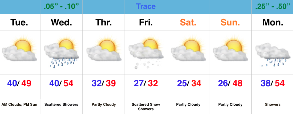
- Hoping for PM sun
- Scattered showers midweek
- Snow flurries/ showers to end the week
- Warm Christmas week ahead
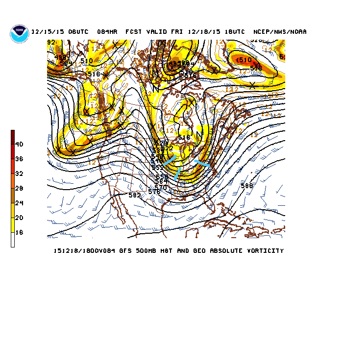
We’re rumbling closer to Christmas with each and every passing day. Thankfully, for the most part this week, weather will be nice for shoppers and early travelers. Two systems of note are slated to impact the area this week- a band of scattered showers will move through here with a frontal boundary Wednesday. Secondly, upper level energy will team up with a shot of arctic air to provide a flurry/ snow shower opportunity Friday.

The 500mb chart Friday shows upper level energy capable of producing flurries/ scattered snow showers. Source: NCEP
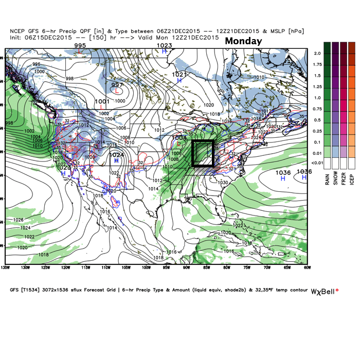
Unfortunately for you winter lovers out there, the cold coming will leave about as quickly as it arrives. We’re back to a warm and moist SW flow early next week that will lead to more unseasonably warm temperatures Christmas week (new possible records may be set), along with showers returning to our forecast as early as Monday.


