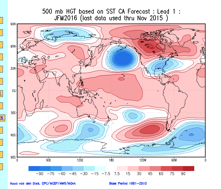
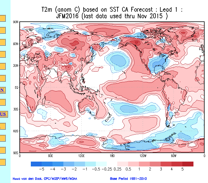
The updated constructed analog model is in the house and holds steady with the on-going idea from previous months.
Upper air pattern for Jan., Feb., and March
 Temperature anomalies for Jan., Feb., and March
 Precipitation anomalies for Jan., Feb., and March
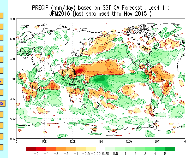 Based on this update, we really don’t see anything that would suggest we need to change our ongoing thinking this winter.
While the mainstream national media seems to continue to push the warmth this winter, we just don’t see it that way. It doesn’t mean that we’re guaranteed to be correct, but at least we’ve outlined our reasoning behind why we disagree with that idea in countless previous posts (that can be found in the archives).
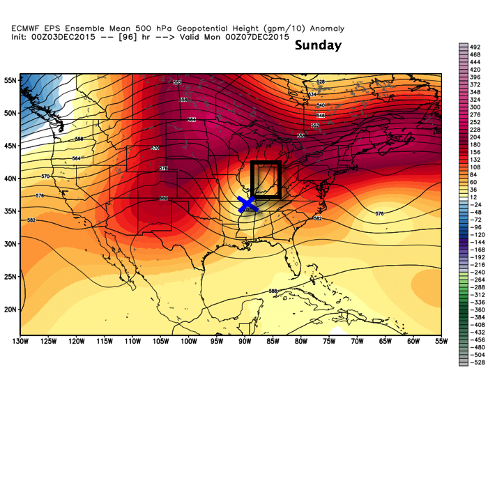
As it stands now, we are really becoming bullish on the possibility we turn much more active for mid and late month. This will come after a relatively quiet and mild first two weeks of December. The SOI has been tanking for several days, but has gone into an all-out tail spin today.
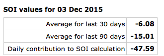 A couple things that come to mind right off the bat with that kind of daily negative value? Poor model performance in the mid range, and an active pattern 10-14 days out. Let’s see how things unfold.
Additionally, latest model data suggests our teleconnections may begin to align in a better fashion for central and eastern cold. Latest runs take the AO slightly negative, the NAO neutral, and trend the PNA back positive towards late month. Not perfect, but we’ll take it.
I heard one prominent national weather source today say December looks warm, quiet, and feature reduced chances of a White Christmas for most compared to normal. Perhaps that will, indeed, be the case. We’re, however, in the camp (small as it may be :-)) that believes a colder and more active period looms leading up to Christmas. We shall see what we shall see…

