- Moderating temperatures after a hard freeze
- Next big storm arrives early next week
- Wintry fun and games around Thanksgiving
Today has featured wall-to-wall sunshine and while it’s looked great from the inside looking out, that wind is still whipping! Gusts have reached 40 MPH in spots across central and northern parts of the state.
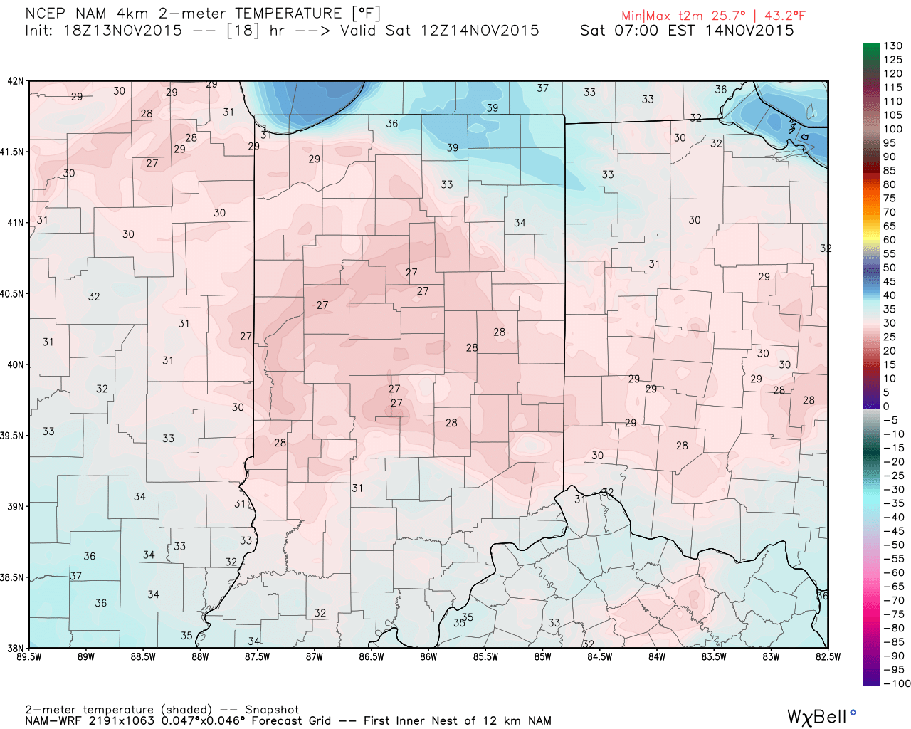
Winds will finally die down tonight and with clear skies in place a hard freeze awaits for central IN. The latest high resolution data, courtesy of Weatherbell.com, suggests mid to upper 20s tonight and we agree.
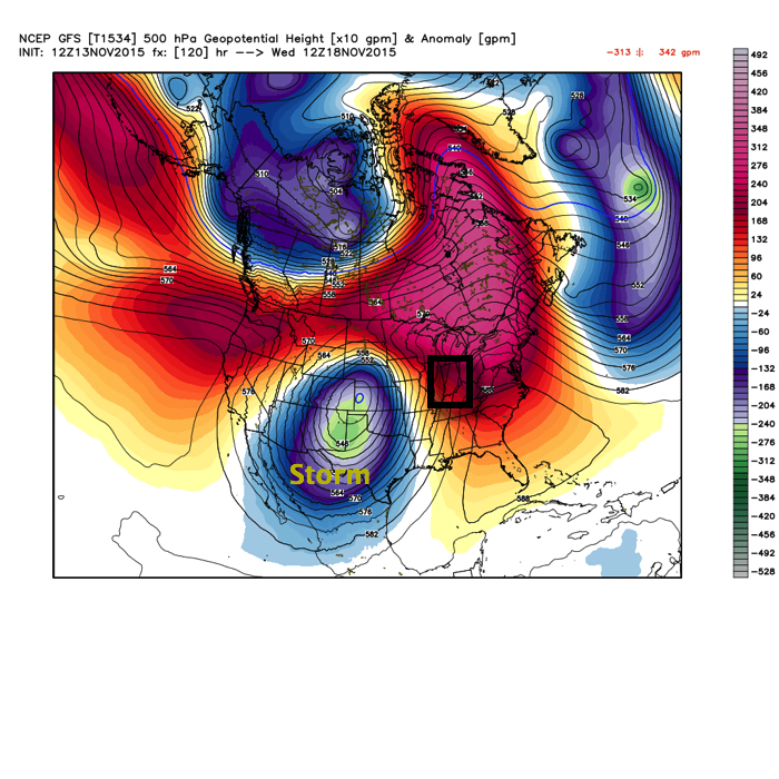
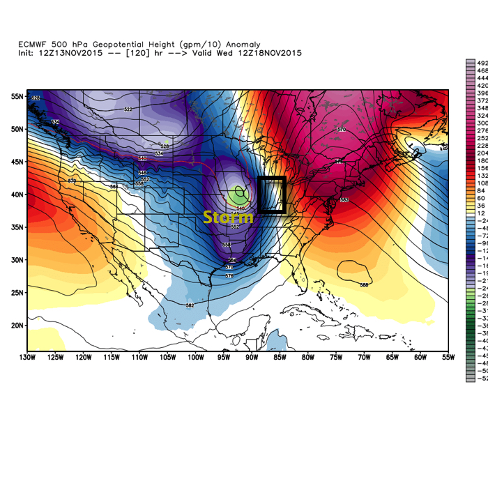
Our next big autumn storm awaits for the early and middle portions of next week. Questions remain concerning severe weather across our area, but as of now it appears the dynamics needed for severe weather, locally, will remain too far to our west. We’ll continue to monitor. Latest forecast models (Euro top and GFS bottom) have some differences with the track of our next storm- both centered on Tuesday night.
 The differences with timing and track are significant and we’ll continue to keep a close eye on things.
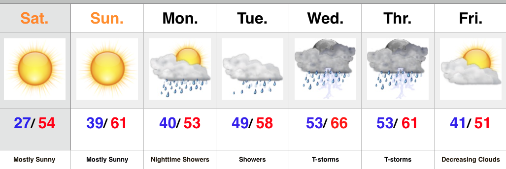
We remain very confident on heavy rainfall potential as a prolonged southerly fetch off the GOM (Gulf of Mexico) will transport copious moisture northbound. Widespread 2″-3″ type rainfall totals are a good bet with this set up.
Longer term, we remain confident on a pattern change towards colder than normal conditions to wrap up November. Additionally, a storm system will likely cross the country Thanksgiving week and could offer up the season’s first widespread wintry “fun.”


