September 2015 archive

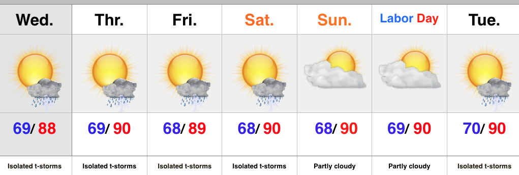
Cooler Times Ahead By Mid Month?

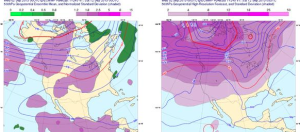
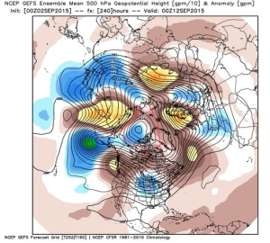
Summer sure doesn’t appear to be letting go anytime soon as our recent 7-day outlook suggests, but there are indications that our unseasonably hot and humid regime may take a back seat to the refreshing taste of fall in about 10 days.  The big “tip of the cap” towards the cooler pattern?  The PNA, or Pacific North American pattern, shifting from negative to positive.  As shown below, both the European (top) and GFS (bottom) highlight the PNA shift to positive.
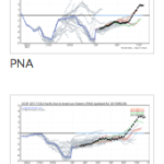
Screen Shot 2015-09-02 at 7.58.03 AMA positive PNA favors eastern troughiness and an associated cooler than normal regime over our neck of the woods.
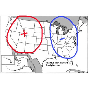
PositivePNASure enough, models are trending towards a much cooler direction for week 2.
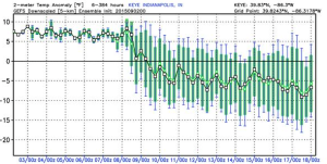
Screen Shot 2015-09-02 at 7.54.04 AM

Screen Shot 2015-09-02 at 7.53.54 AM

Screen Shot 2015-09-02 at 7.54.14 AMIt’ll be fun to watch things unfold.  For now, if you’re a fan of summer weather, be sure to enjoy the next week, or so, as things appear to be changing for the much cooler side of things around the 10th (give or take a day or two).

Permanent link to this article: https://indywx.com/2015/09/02/cooler-times-ahead-by-mid-month/

Summer Isn’t Letting Go…

Screen Shot 2015-09-01 at 9.42.32 PMHighlights:

  • Isolated slow moving storms
  • Hot and humid air mass remains
  • Stagnant pattern

An upper level disturbance will push slowly east into Ohio Wednesday, but will remain close enough to have some impact on our local weather.  Coverage of storms won’t be as widespread as those of today, but we’ll likely see a few slow moving, strong storms develop across central IN all the same.

We’ll maintain mention of isolated storms into the weekend, but the big weather story will be the unseasonably hot and humid air mass in place.  It’s all part of the big weather picture that includes a strengthening high pressure ridge (hot dome) over the Lakes and SE Canada as we rumble into the long holiday weekend.

Looking ahead, there are indications that more active times are around the corner once to mid month.

Upcoming 7-Day Rainfall Forecast: 0.25″ – 0.50″ (locally heavier totals)

Storms rumbled across portions of central IN today, but the “@cryptics cam” caught a glorious sunset from Danville this evening.

Permanent link to this article: https://indywx.com/2015/09/01/summer-isnt-letting-go/

Tuesday Weather Notebook…

  Tuesday Storms: A small, but vigorous upper level disturbance is overhead this morning and will serve as a focal point for thunderstorm development. The disturbance shows up very nicely…

You must be logged in to view this content. Click Here to become a member of IndyWX.com for full access.  Already a member of IndyWx.com All-Access?  Log-in here.

Permanent link to this article: https://indywx.com/2015/09/01/tuesday-weather-notebook-2/

IndyWx.com