1.) First and foremost, our thoughts and prayers go out to our neighbors to our south this morning as a serious flood situation is underway.
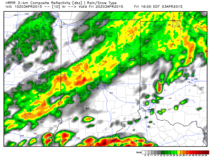
Unfortunately, more rain is ahead today and will include our region across central Indiana. Waves of rain and embedded thunder will continue into the evening.
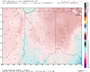
2.) A much colder air mass will arrive this afternoon and evening along with a gusty northwest wind. Wind chills will fall into the 20s by evening. Eventually we’ll bottom out in the upper 20s Saturday morning.
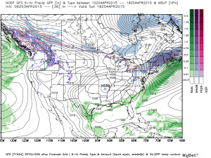
3.) Easter weekend will feature beautiful weather across the area, thanks to high pressure. Though it’ll be cold Saturday morning, lots of sunshine will warm us quickly.
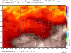
4.) Wet and stormy times return next week, including multiple days of heavy rain potential and possibly strong to severe thunderstorms. In short, a very active week is on deck.


