|
Mon. |
Tue. |
Wed. |
Thr. |
Fri. |
Sat. |
Sun. |
|
62/ 85 |
62/ 84 |
63/ 81 |
63/ 80 |
62/ 82 |
59/ 83 |
62/ 86 |
|
|
|
|
|
|
|
|
Dry Start To The Week…High pressure will remain in control of our weather today and supply lots of sunshine and seasonable temperatures.
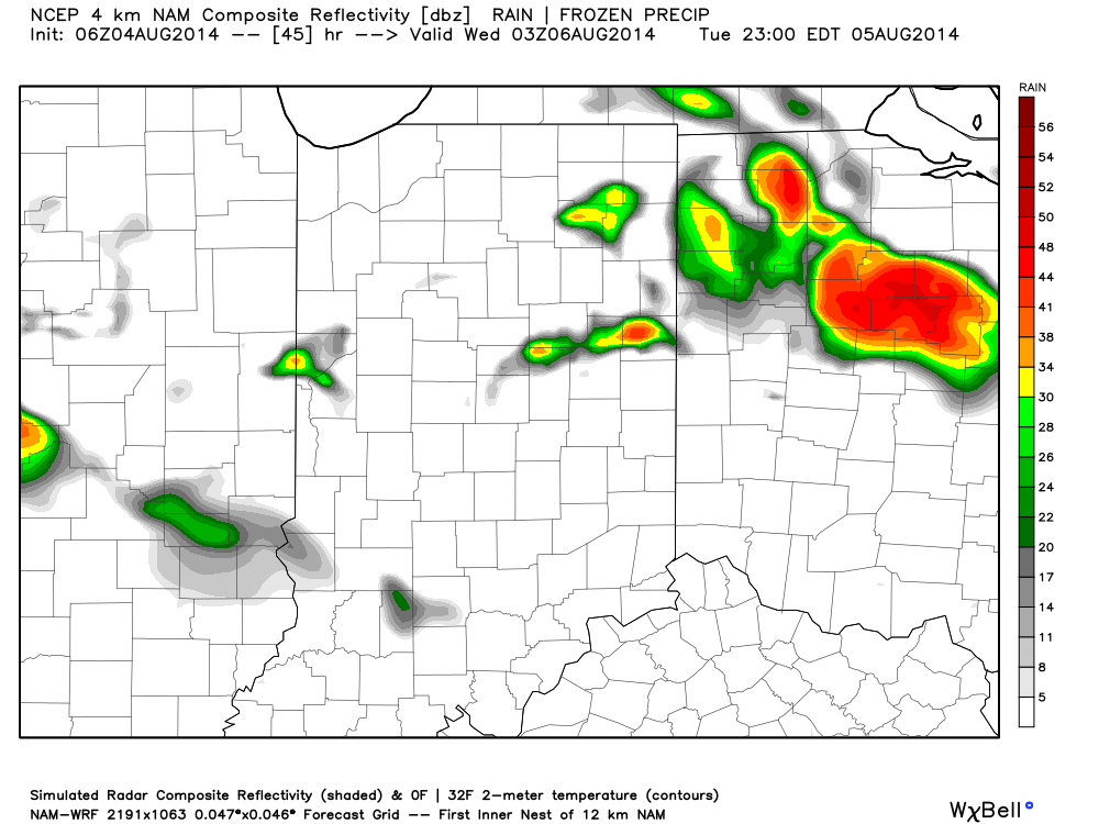
Rain Chances Increasing…A cold front will drop closer to the region Tuesday and will help to serve as the trigger in widely scattered shower and thunderstorm development Tuesday afternoon. Mid week is where our questions lie and they have to do with just how far the front makes it before stalling. A combination of the GFS, European, and Canadian forecast models shows a variety of results. The European is most progressive and dries the region out quickly mid week with high pressure building into the area. The Canadian is the exact opposite as it paints a wide swath of heavy rain through the heart of the state (2″ type rains through late week). Finally, the GFS is in between the two. We think the GFS has the best idea as of now, but we’ll keep a close eye on things as we move through the next couple days. Stay tuned.
Pleasant Weekend…We’re confident on a weekend that should feature beautiful late-summer weather conditions- lots of sunshine, seasonable temperatures, and low humidity!
7-Day Precipitation Outlook:
- 7-Day Rainfall Forecast: 0.50-1.00″
- 7-Day Snowfall Forecast: 0.00″

