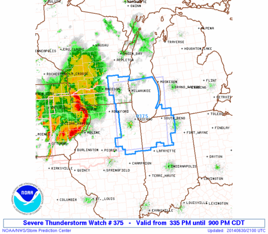
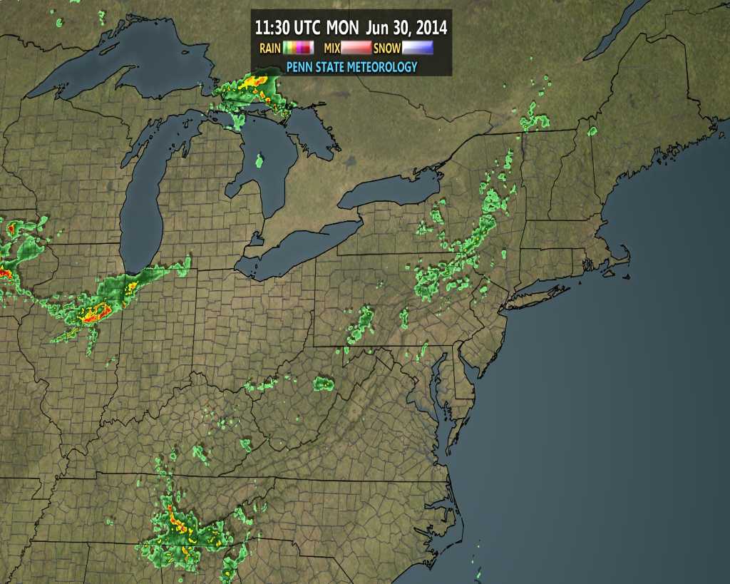
As we type this, a PDS (Particularly Dangerous Situation) Severe Thunderstorm Watch has been hoisted to include much of northwestern Indiana. The concern is that the complex of storms, already responsible for damaging weather across Iowa, gains steam as it plows east and intensifies this evening.
There’s no doubt in overall thinking that northern Indiana is at greatest risk for damaging severe weather later this evening and overnight, but we do have some concern that areas further south aren’t out of the woods. Is there risk at being wrong in the further south idea? Absolutely. However, a look over the latest model data continues to suggest there’s plenty of moisture and fuel readily available. Additionally, similar thunderstorm complexes have been known to “hook” south as they intensify racing east and short-term modeling has been known to have to play catch up at the very end in some particular cases. That’s not something we want to play around with tonight, given what the potential is. Will potential become reality here across central Indiana? Big question at the moment, but one can’t be too careful with this particular situation as a rather widespread damaging wind event should expand in the coming hours. Nowcasting will be key. Should central Indiana get in on the stormy action it would be late this evening and overnight- midnight-ish, and after, for most.
Our best educated projection at this juncture would place north-central Indiana (a line from Crawfordsville to Muncie) and points north under the greatest risk for potential severe weather late tonight. Damaging straight line winds are of greatest concern with this complex tonight. Know that we’ll keep a close eye on things moving forward and suggest setting the weather radio on alert mode before heading off to bed this evening. As always, have a means to get watches and warnings issued by the National Weather Service.

