May 30, 2014 archive
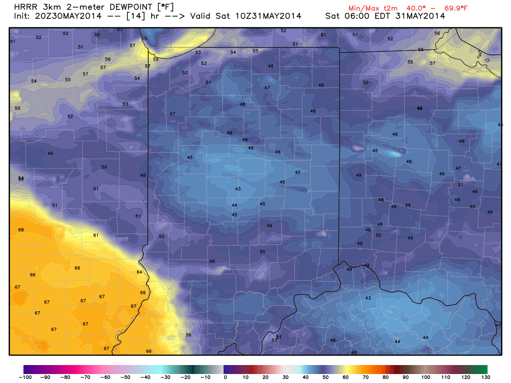
Drier air continues to take hold and will remain intact as we progress through the majority of the weekend. As the great Sean Ash says, “time to break out the grills!” Humidity values and rain/ storm chances will increase in a dramatic fashion next week. The video uncovers the details!

A much less humid air mass will continue to back itself into the region during the overnight.
Permanent link to this article: https://indywx.com/2014/05/30/friday-evening-video-update/
-
Filed under 7-Day Outlook, Forecast, Forecast Discussion, Forecast Models, Heavy Rain, Rain, Summer, T-storms, Tropics, Unseasonably Warm
-
May 30, 2014
|
Fri.
|
Sat.
|
Sun.
|
Mon.
|
Tue.
|
Wed.
|
Thr.
|
|

|

|

|

|

|

|

|
|
63/ 80
|
57/ 80
|
58/ 83
|
69/ 82
|
70/ 84
|
62/ 80
|
70/ 85
|
|
– – –
|
– – –
|
– – –
|
Light
|
Light
|
Light
|
Light
|
After a week of that famous summer “heavy” air mass filled with plenty of warmth and humidity, Hoosiers can breathe a sigh of relief this weekend as a much more refreshing northeast flow provides greatly reduced humidity levels. Also, we’ll enjoy plenty of sunshine for your weekend! All-in-all, we’ve lucked out with yet another beauty of a weekend! Get out and enjoy! As we flip the page into the new work week, showers and thunderstorm chances will increase as humidity levels do a rather abrupt face and return to the sultry levels we grew accustomed to this week. Locally heavy rainfall will be a possibility with such moisture content. A period of widespread, enhanced, rains may fall late next week. In unrelated weather news, we’ll also monitor the possibility of something “curious” down in the Gulf of Mexico towards the mid to late week period and the possibility of early season tropical mischief…
Permanent link to this article: https://indywx.com/2014/05/30/much-less-humid-weekend/

