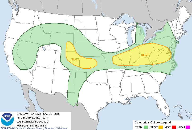
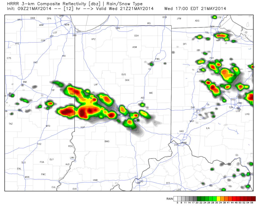
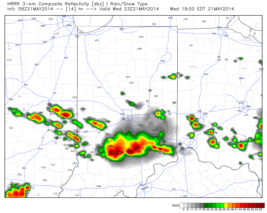
The morning is dawning pleasant and quiet, but things appear to get quite noisy and active around these parts later this afternoon. A cold front will slice into the warm and humid air mass in place across the region and thunderstorms will erupt in rather explosive fashion as early as the early to mid afternoon hours. Damaging straight line winds and large hail are of greatest concern.
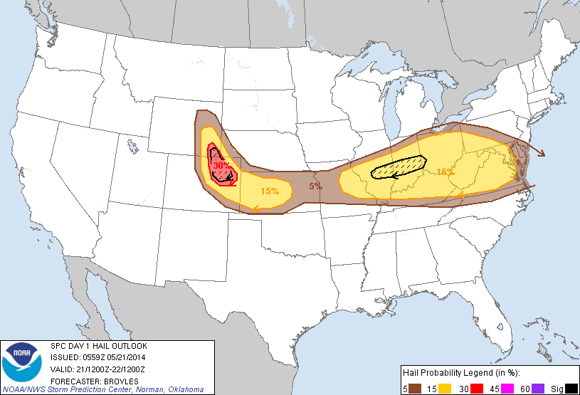
The Storm Prediction Center (SPC) highlights the region for an enhanced risk of large and destructive hail this afternoon.
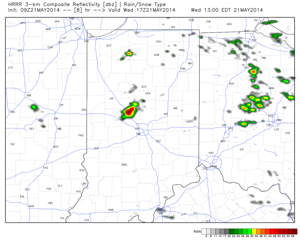
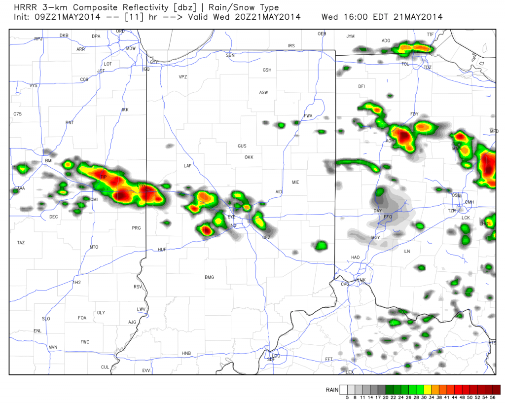
Here’s a look at what the simulated forecast radar may resemble this afternoon, as always, courtesy of Weatherbell Analytics:
Now it’s important to note not everyone will see destructive severe weather (as is usually the case with any severe weather outbreak), but signals point towards the possibility of a rather significant and large scale severe hail event across central and southern portions of the state this afternoon and evening. It’ll be very important to stay tuned to your favorite media and certainly heed all warnings that come out this afternoon.
We’ll clear things out nicely later tonight and Thursday and set the stage for an absolute beauty of a holiday and race weekend. We forecast bright, sunny skies each day along with cool temperatures that slowly warm to the upper 70s for race day, itself. We’ll introduce the next threat of storms for Memorial Day amidst bubbling true summer heat and humidity for next week.

