|
Sat. |
Sun. |
Mon. |
Tue. |
Wed. |
Thr. |
Fri. |
|
40/ 57 |
38/ 64 |
43/ 68 |
55/ 78 |
65/ 81 |
62/ 76 |
53/ 73 |
|
Light |
– – – |
– – – |
Light |
Light |
Light |
Light |
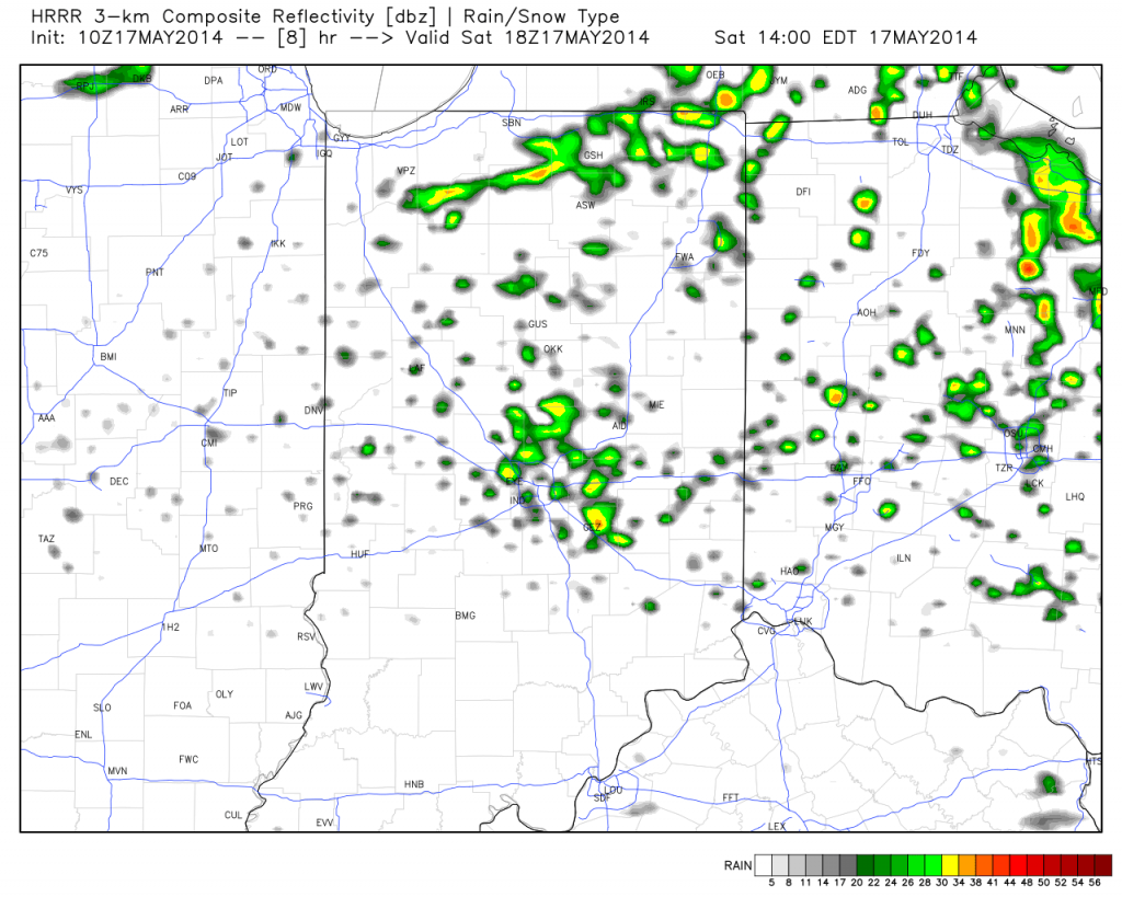
“Improvement” will be the weather word of the weekend, but it’s going to take a couple of slow baby steps before we see full-blown improvement (we think that comes Sunday)! Today will feature more sunshine than Friday, but with plenty of cold air aloft, it won’t take long for that May sun to do it’s dirty work and help showers bubble up this afternoon. While some small hail will be possible with the showers, hail reports won’t be nearly as widespread as what we saw Friday. Temperatures will remain well below normal. We finally think we can shake shower chances Sunday and introduce a partly cloudy sky. Early next week looks dry, as well, until a warm front lifts north Tuesday. This will introduce a much warmer, muggy brand of air to central Indiana and allow for the chance of scattered showers and thunderstorms for mid and late week. A weak frontal boundary will slip south Thursday into Friday which will knock temperatures back a few degrees to wrap up the work week. Rainfall amounts through the period will remain rather light, but some local downpours are possible in the muggy air mass mid week.

