We’re in what we call a “rinse and repeat” pattern. The region will be under the influence of a broad west to northwesterly flow courtesy of the upper low to our north- over the northwestern Great Lakes region. This will continue as we put a wrap on the work week.
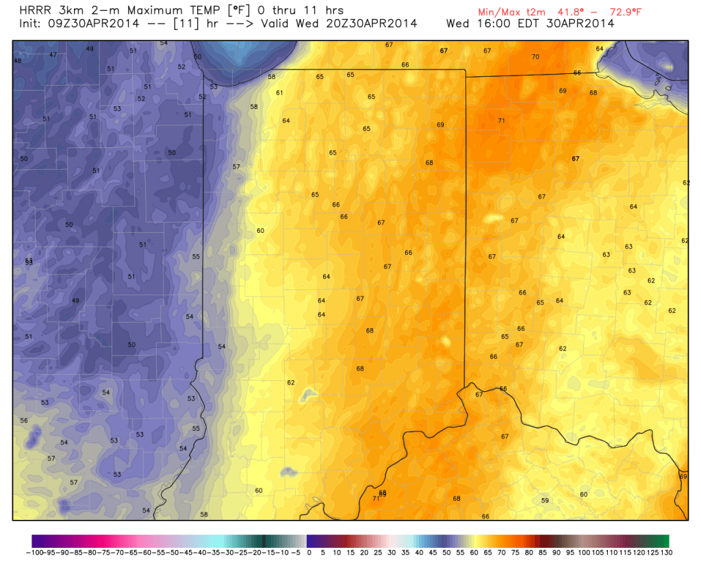
As a result, we’ll note a much cooler regime (highs today will reach the lower to middle 60s, but highs Thursday and Friday won’t make it out of the 50s). Note today’s highs will be warmest across the east and cooler west as the overall cool air mass moves in.
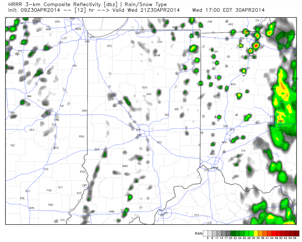
While everyone won’t get wet, instability-driven showers will be most numerous during the afternoon and evening hours. These showers will dissipate at night only to reform the following afternoon.
We’ll have a full forecast update posted tonight. Make it a great Wednesday!


