Come this afternoon it’ll be tough to believe we were in the 70s over the weekend! A cold front is moving through central Indiana this morning and resulting in showers. Rain will continue in an off-and-on fashion today, becoming a bit more organized yet again later this afternoon and evening. This will be in response to a wave of low pressure developing to our east, along the pressing strong cold front.
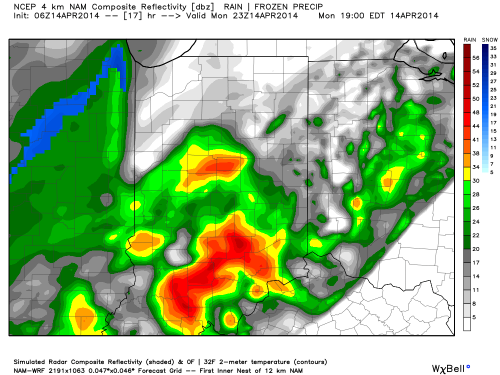
A look at the forecast simulated radar at 7pm this evening:
MUCH colder air will pour into the region today, complete with gusty northwest winds. In fact, we’ll be in the 40s just after the lunchtime hour and the free-fall will continue. 30s arrive this evening and rain will begin to transition to wet snow. Not all will see accumulation tonight, but a slushy accumulation of around half an inch will be possible where heavier snow persists.
A look at the forecast simulated radar towards 11pm-12am:
Temperatures will crash into the 20s by Tuesday morning. I saw many folks at Lowes buying flowers yesterday…hopefully those folks aren’t planning on planting until later…
Tuesday will feature clearing skies, albeit unseasonably cold conditions. We’ll remain in the 30s most of Tuesday, struggling to make it much above 40 by afternoon, along with a chilly northwest wind in place. Lows Tuesday night/ Wednesday morning will drop into the lower to middle 20s.


