We’ll wrap up the weekend with sunshine, though clouds will be on the increase later this afternoon. This is all part of the next storm system that will deliver moderate rainfall amounts here to open up the new work week. Additionally, winds will be strong and gusty Monday along with cooler temperatures. All-in-all, it’ll be a raw, nasty Monday.
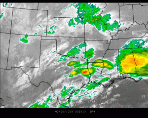
Clouds are already increasing across southern portions of the state this morning .
.
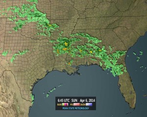
Rain and embedded thunder is blossoming over the Ark-la-tex region and southeast.
As we go through time, a sunny start here will cloud up by the afternoon and evening. All the same, it’ll be a very nice day with highs reaching the upper 50s.
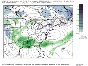
Low pressure that’s currently organizing along the Texas Gulf Coast region will lift northeast and strengthen. This will produce our rainy and windy Monday into Tuesday.
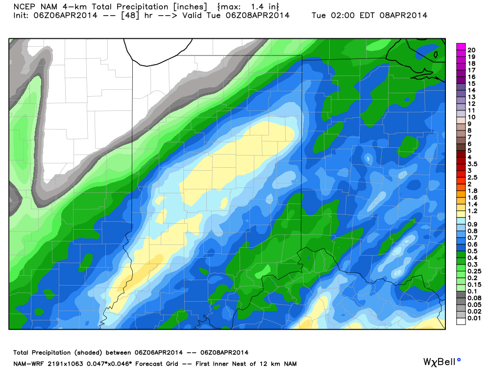
Rainfall totals will average around an inch for central portions of the state Monday and model data ranges from 0.50-1.78″.
The high resolution NAM model suggests 0.80-1.00″.
After a wet open to the work week, high pressure will build in and supply a pleasant rest of the week, including the opportunity we may hit our first 70 degree day of the year Thursday.


