|
Mon. |
Tue. |
Wed. |
Thr. |
Fri. |
Sat. |
Sun. |
|
41/ 45 |
35/ 54 |
32/ 55 |
40/ 70 |
50/ 63 |
42/ 70 |
55/ 69 |
|
Moderate |
Light |
– – – |
– – – |
Light |
– – – |
Light |
Custom IndyWx.com Forecast Updated 04.07.14 @ 8:02a
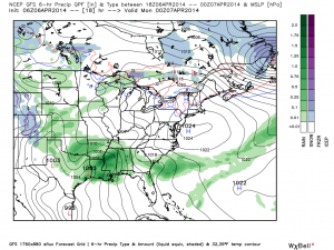
Damp; Chilly Open To The Work Week. . .A storm system will lift into the Ohio Valley Monday into Tuesday. An east and northeast flow will ensure temperatures are at below normal levels Monday and downright chilly. Couple that with wind gusts in excess of 20 MPH along with a driving rain and you have the makings for a rather nasty open to the work week.
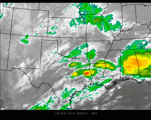
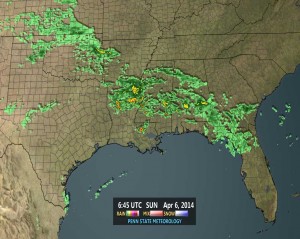
Deep convection along the Gulf Coast has “robbed” some of the moisture transport north, but we still anticipate steady rains here late morning into the afternoon. Steady rains will taper to showers tonight into Tuesday, but we’ll still note periods of wet weather, along with a gusty northerly breeze and cooler than normal temperatures holding firm through mid week. It should be noted sunshine will be on the increase by Wednesday.
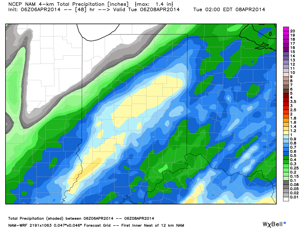
As for total rainfall from our early week storm system, we think most central Indiana communities will average around one half inch.
Late Week Warming. . .We’ll continue the sunny theme Thursday, but strong southwest winds will be blowing (gusting 30-40 MPH) and usher in, potentially, our first 70 degree day so far this year.
Thursday’s warming will be in advance of a Friday frontal boundary. Moisture will be lacking with our late week storm system, but we’ll keep the threat of a brief shower in the forecast for now.
More Important Cold Front. . .There are some issues with timing, but we’ll circle Sunday into Monday for the chance of our next cold front of significance to deliver a round of showers and thunderstorms. Behind this boundary, a big shot of cold air will flow in and could set the stage for a freeze early next week. Stay tuned.
Upcoming 7-Day Precipitation Forecast:
- 7-Day Rainfall Forecast: 1″
- 7-Day Snowfall Forecast: 0.00″
For weather updates and more “behind the scenes” data on the go, be sure to Follow Us on Twitter @indywx or become a Friend of IndyWx.com on Facebook!


