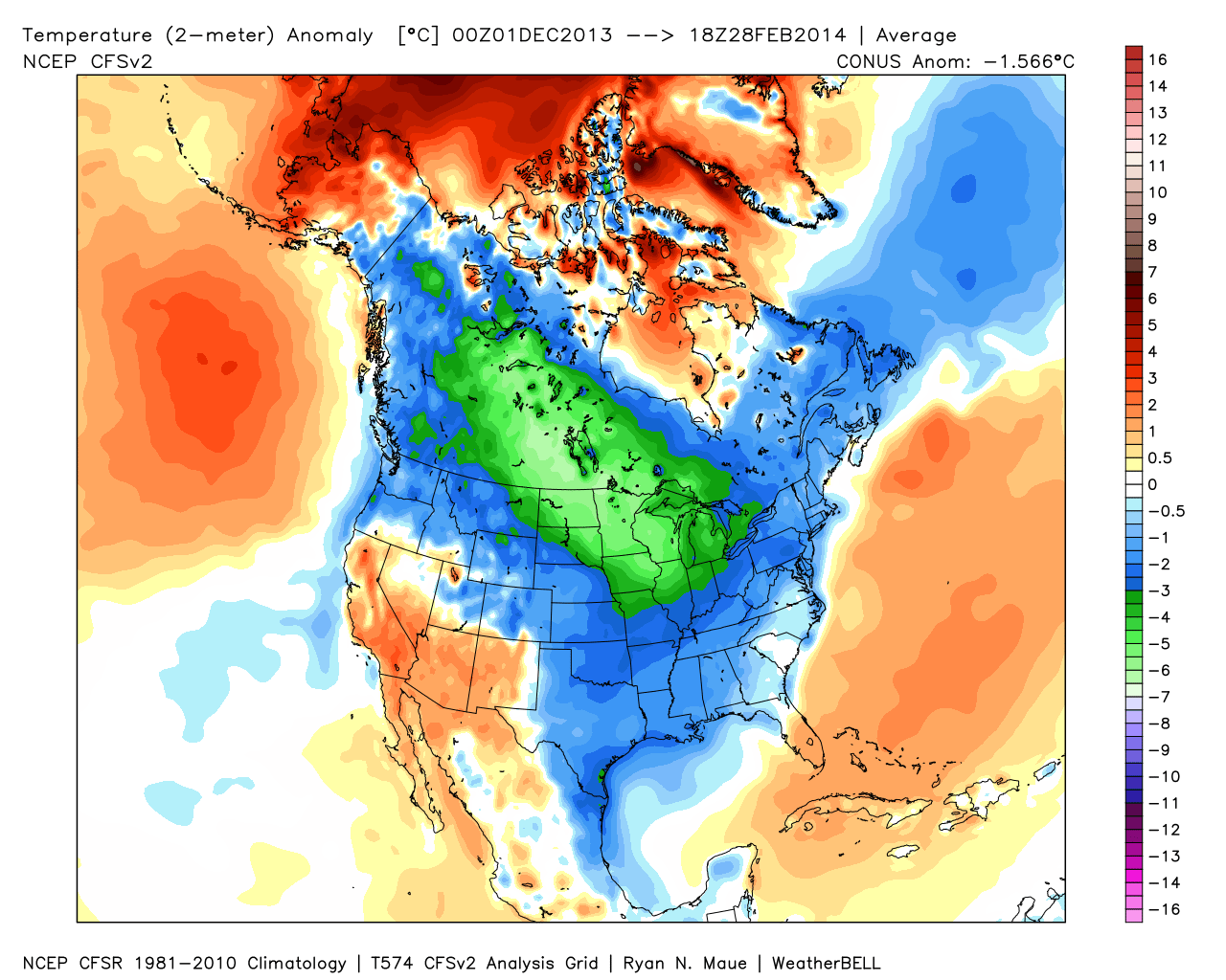
It was a cold winter across the Lower 48, including Indiana:
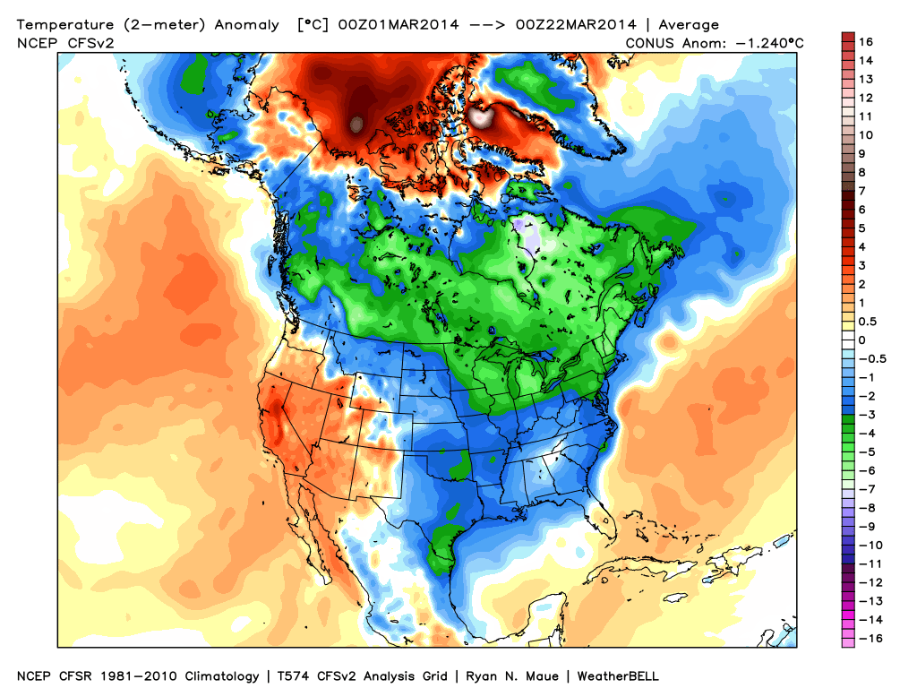
March has followed suite, month-to-date: Cold continues for the majority of the upcoming week, but we note moderating late week temperatures.
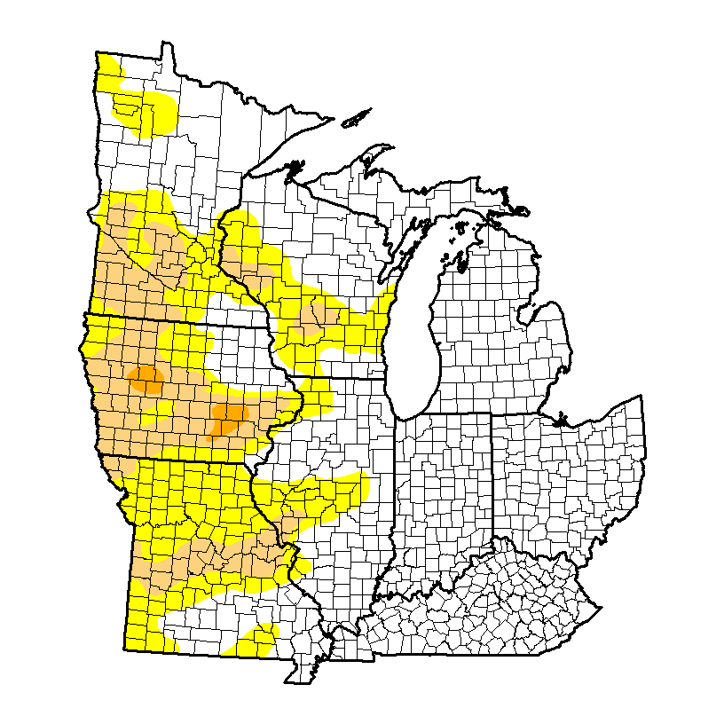
It’s been dry as of late, but after a snowy winter, the region is doing just fine from a drought perspective. We note abnormally dry conditions west:
Latest CFSv2 data points to a wet spring ahead. We also note the latest European weeklies suggesting a potentially “busy” 1st half of April, including a couple of “bowling ball” systems of note. With the changing seasons, it’s not unusual to see big spring cut off lows slowly moving through portions of the country.
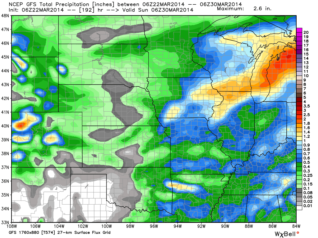
Note the GFS (7-day) and Canadian (10-day) precipitation forecast:
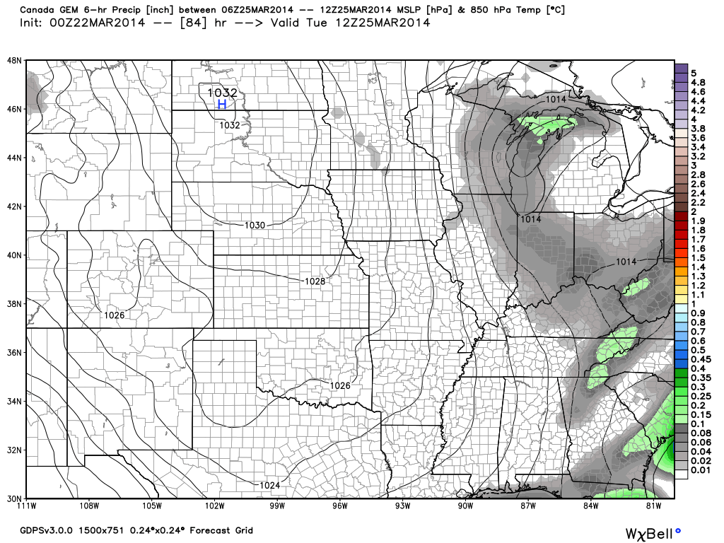
We also are still forecasting light snow Tuesday. Most of this won’t accumulate with the high sun angle and low snowfall rates, but a brief coating to less than an inch is possible in spots:

