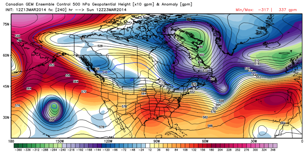
While we remain in a overall colder than normal pattern, spring, obviously, has to get here one day, right?! The past week has seen an increase in spring at least “flirting” with the region for brief 24-36 hour time periods and this will continue over the upcoming week.
We remain concerned about a potential shot of well below normal cold to open April, but we thought it would be nice to talk about something pleasant for a change. 🙂 We’re keeping a close eye on next weekend, March 22nd and 23rd, for the potential first 70 degree + type day at IND this year.
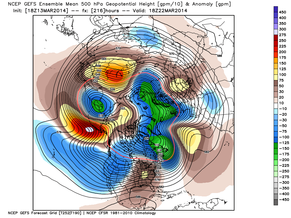
The latest ensembles aren’t shying away from a significant, though transient, ridge building in during this time period.
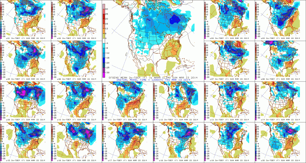
Note the GFS showing the transient, though significantly, warmer than normal air that would likely occur in this type pattern. 70 degrees + would certainly be attainable.
See, we don’t just provide doom and gloom (though this past winter may seem that way) at IndyWx.com!


