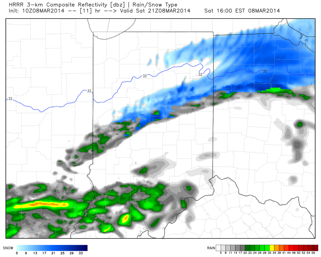
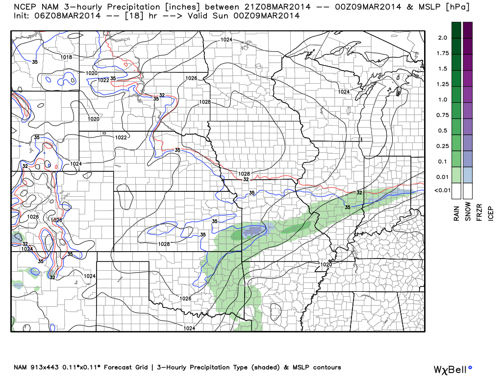
Good morning and happy Saturday! A weak weather system will move through the region and produce a couple of light showers this afternoon, but won’t be a big deal. Rain will end as a couple of snow flakes. Overall precipitation totals look less and less impressive with each model run, which wasn’t impressive to begin with. Needless to say, don’t be concerned by any sort of significant rain or snow today.
Latest simulated radar off the NAM and HRRR shows the band of light precipitation pushing through the state this afternoon.
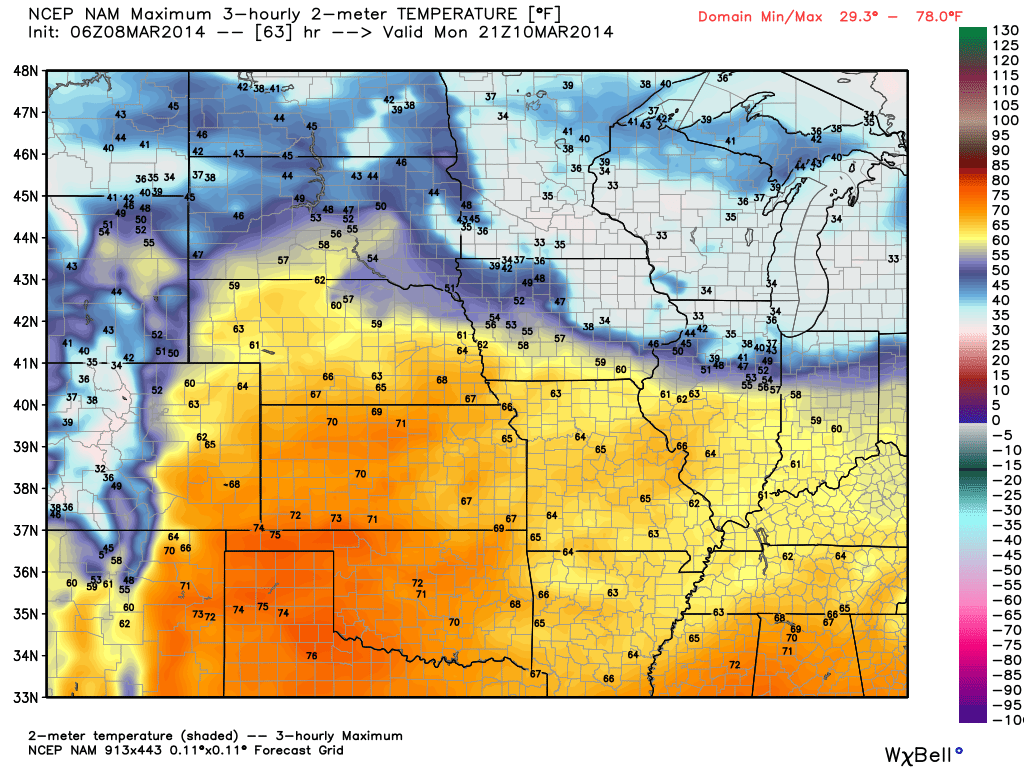
While we’ll have a brief “set back” in the temperature department this weekend, early next week continues to look downright mild and very spring like. Note our region flirting with 60s. Impressively, a budding area of 70-degree warmth is expanding to our west.
Details remain quite sketchy in regards to nailing down the storm the middle of next week with any sort of confidence. While we’ll continue to sort through the data and gain a better understanding of things over the weekend, we’re confident on a colder regime returning by the middle of next week. Note the trough per the GFS ensembles returning to the east. Much more later!


