|
Wed.
|
Thr.
|
Fri.
|
Sat.
|
Sun.
|
Mon.
|
Tue.
|
|

|

|

|
|
|
|
|
|
17/ 40
|
30/ 50
|
39/ 52
|
32/ 39
|
28/ 56
|
39/ 62
|
31/ 49
|
|
– – –
|
Light
|
Light
|
Moderate
|
– – –
|
Light
|
– – –
|
Forecast updated 03.25.14 @ 7:30a
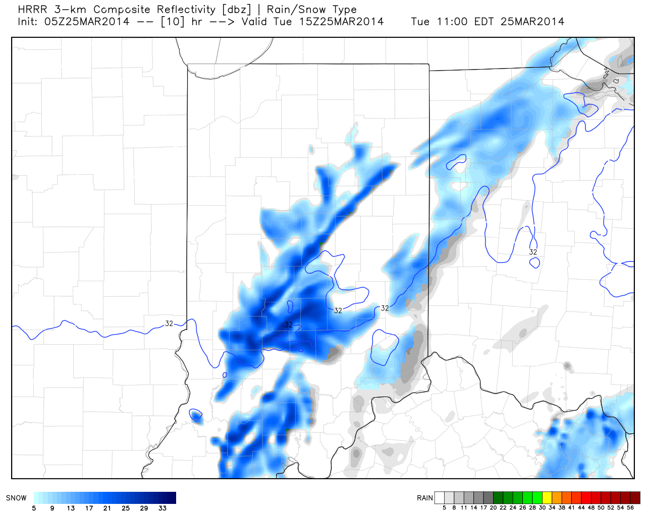
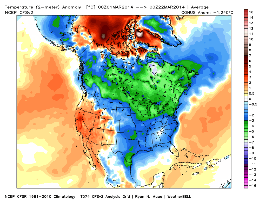
Brighter Mid Week. . .After a cold and snowy Tuesday, sunshine returns today and will help temperatures get a boost…somewhat. Average high temperatures are in the upper 50s this time of the year and we’ll struggle to eclipse the 40 degree mark today. That said, we’ll concentrate on the improvement from Tuesday. Additionally, we’ll notice a strengthening southwesterly breeze during the afternoon, including gusts that may top 20 MPH.
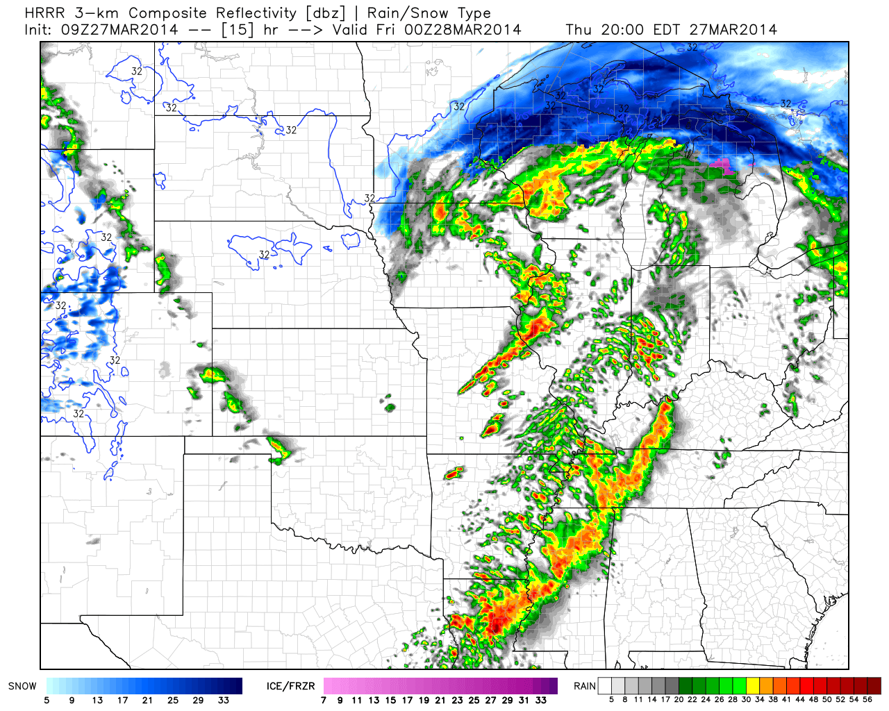
Late Week Storm System. . .Low pressure will lift out of the Plains and into the Great Lakes Thursday. A warm front will lift north through our area early Thursday morning and will be accompanied by a quick burst of rain (potentially mixed with wet snow during the onset). Finally, a cold front will drive through here late Thursday night into early Friday with shower chances continuing until the front passes.
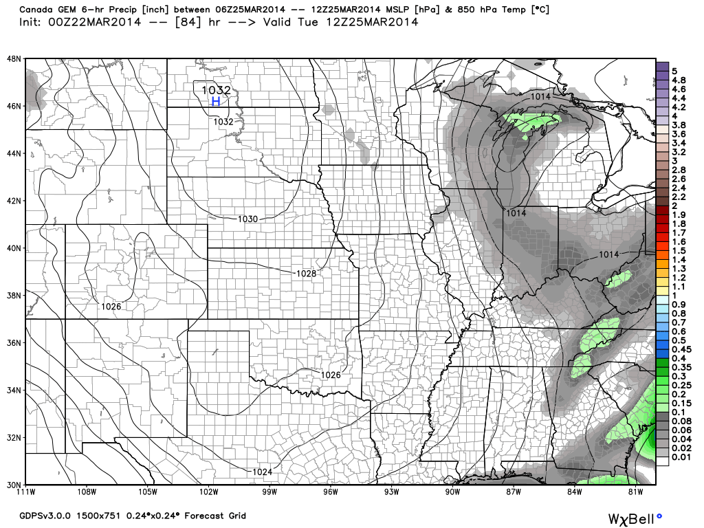
Busy Times Continue This Weekend; Tricky Storm. . .While we may see some sunshine Friday afternoon, clouds will quickly build back in Friday night and rain will overspread the region, continuing into Saturday. Rainfall may be heavy at times Saturday morning.
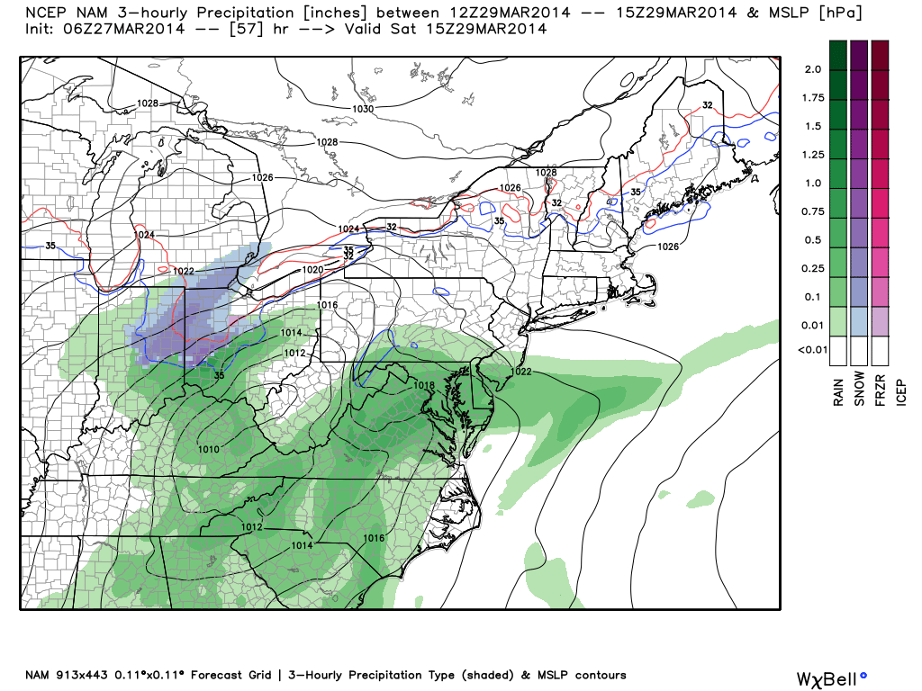
The early consensus of the track of Saturday’s low combined with marginal temperatures, does at least raise an eye brow that some wet snow could be in play for portions of central and east-central Indiana Saturday morning into the afternoon and we’ll monitor this. Again, while temperatures will be marginal, at best, heavy precipitation rates will stand the chance for a band of heavy wet snow along the northern periphery of the precipitation.
Another Fast Moving Storm. . .After a drier Sunday (and milder), clouds return Sunday night and scattered showers are possible Monday as yet another cold front swings through the region. Moisture will be limited with this front so rainfall amounts should be light. Tuesday looks drier and colder.
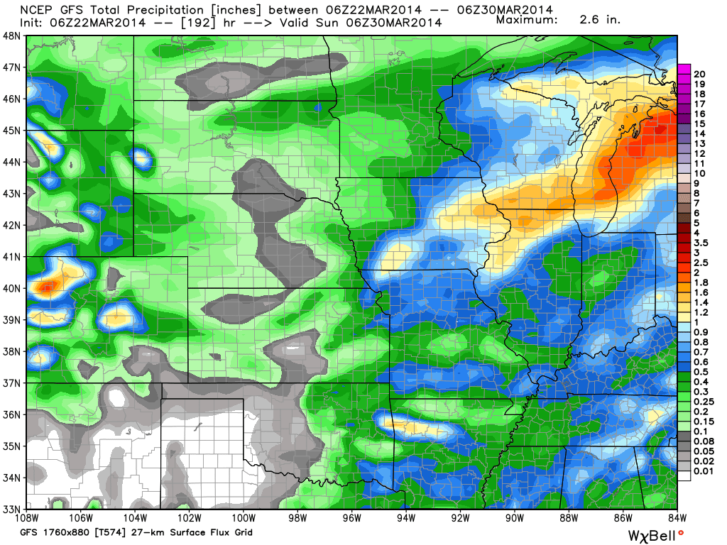
Upcoming 7-Day Precipitation Forecast:
- 7-Day Rainfall Forecast: 1″ – 1.50″
- 7-Day Snowfall Forecast: Less than 1″
 For weather updates and more “behind the scenes” data on the go, be sure to Follow Us on Twitter @indywx or become a Friend of IndyWx.com on Facebook!