11:00p update
Snowfall has been falling to “beat the band” the past couple hours across central Indiana. Just within the past 54 minutes we’ve added 1.2″ here at IndyWx.com HQ in southeast Boone County. Storm totals thus far are approaching 7″ as of this report.
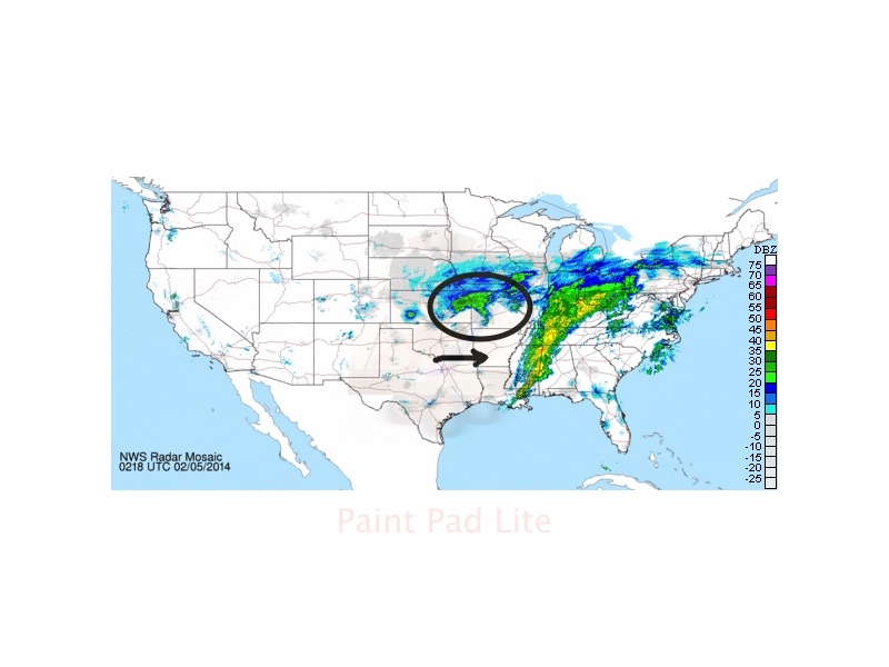
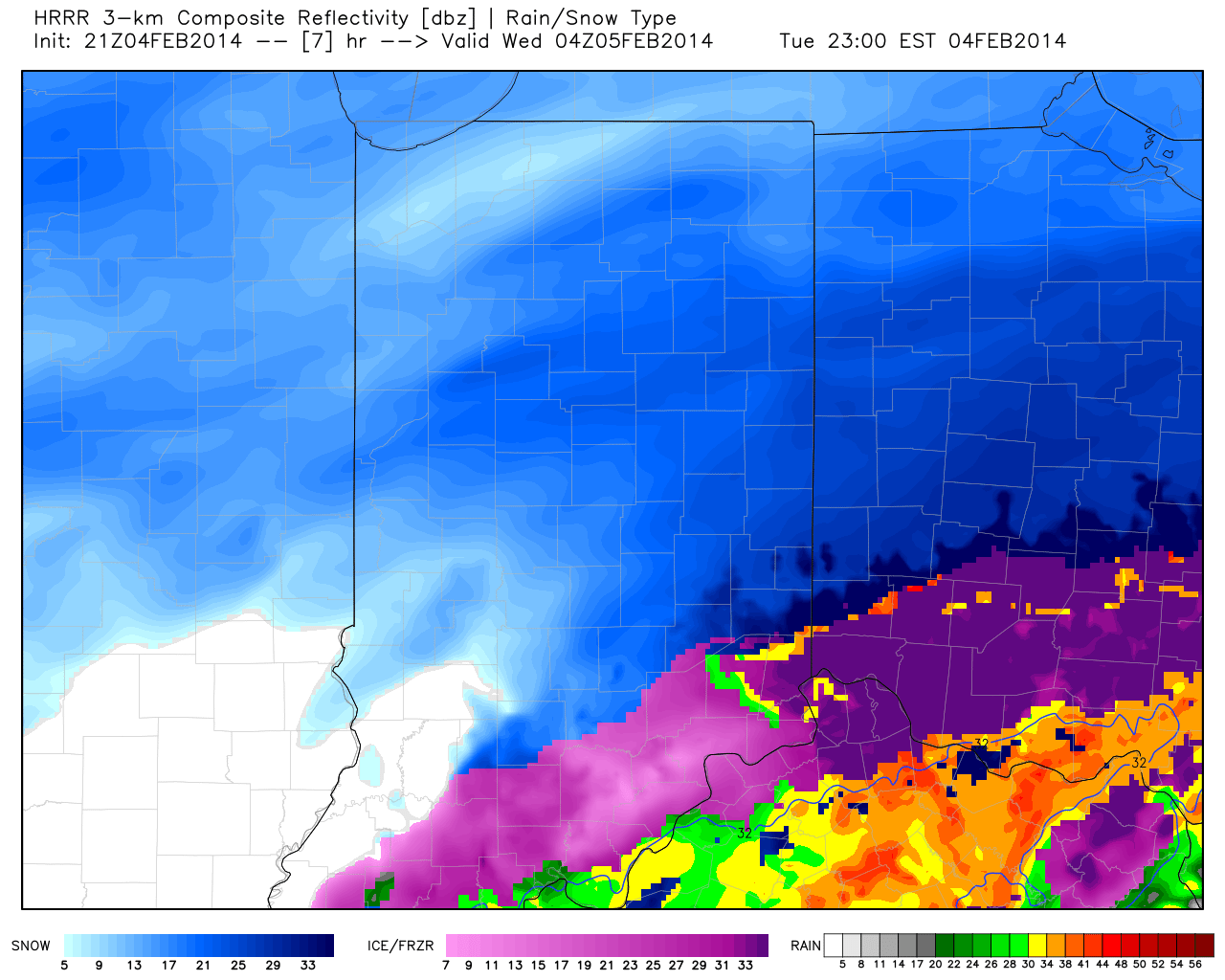
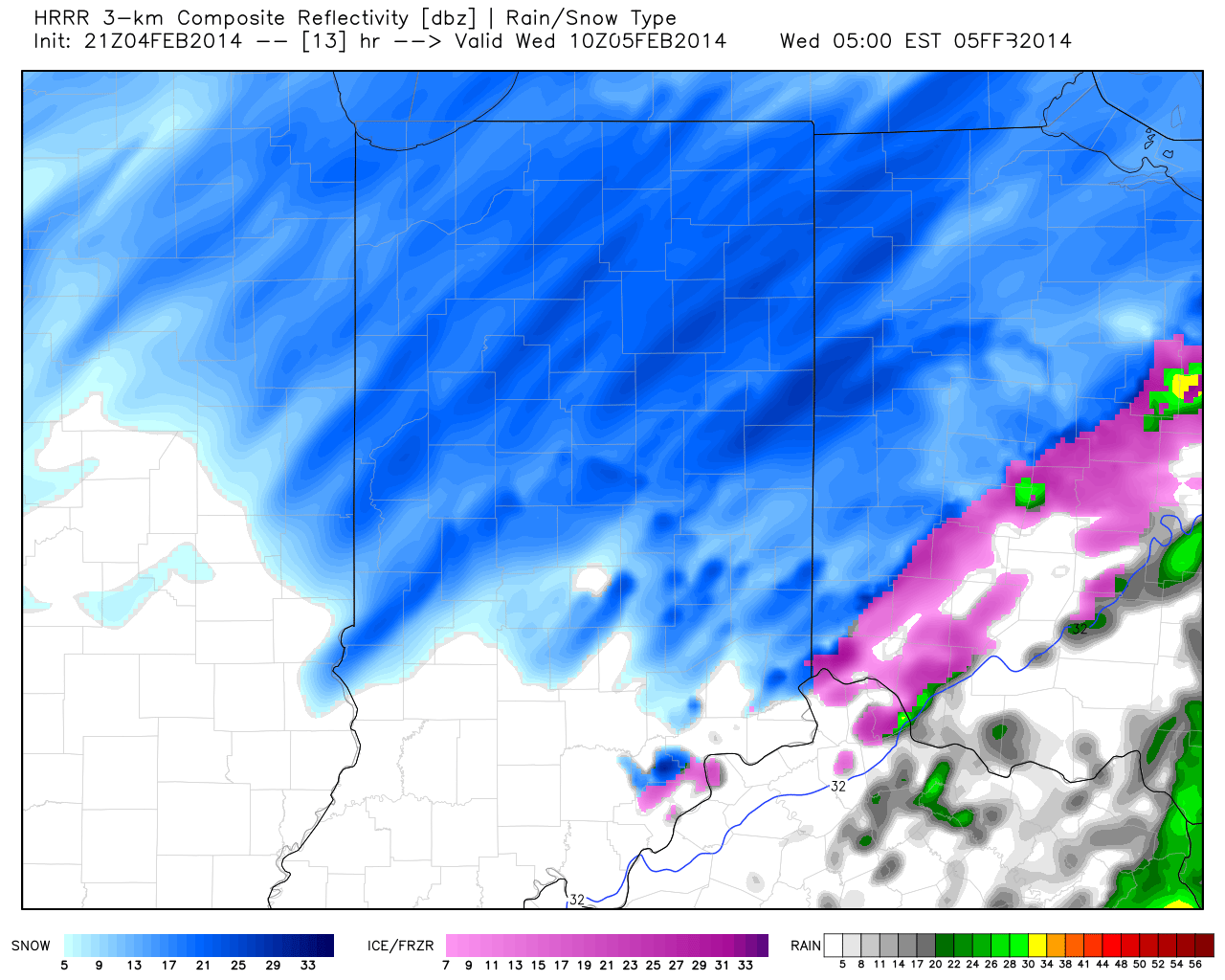
While you’ll note the drier push of air invading portions of south-central Indiana, it’s likely accumulating snow continues across central Indiana, especially from the I-70 corridor and points north, becoming more widespread and growing in intensity yet again during the overnight. The culprit? The highlighted upper low which will “carry” accumulating snow east through the night into Wednesday…
6:00p update
A major winter storm is underway and currently producing snowfall rates in excess of 1″ per hour across most of central Indiana. We already have snowfall reports of 4-5″ coming in and those numbers will grow deeper and expand as we progress through the night.
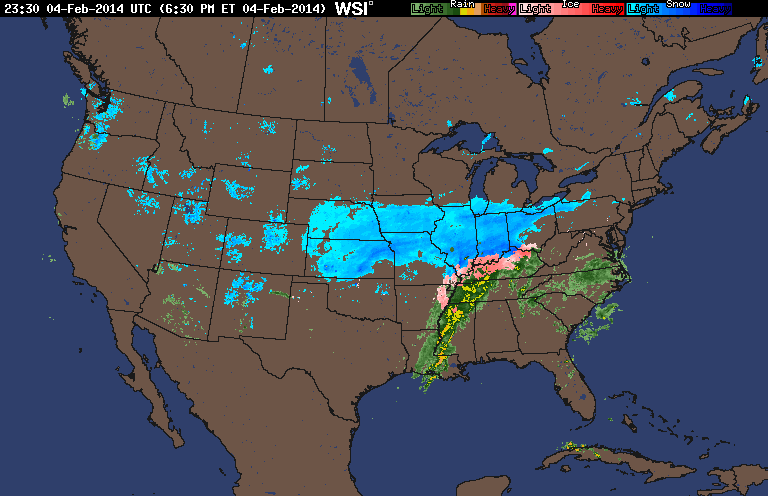
This is a widespread winter storm and impacting a huge chunk of territory. Here’s a look at the radar at 6:30, via Intellicast:
Notice the moisture connection with the Gulf of Mexico. Moisture-rich air continues to stream north into the cold air mass in place and resulting in extreme snowfall rates of 1-2″ per hour…these will continue through the evening before intensity improves late tonight.
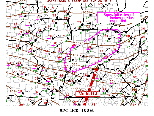
The Storm Prediction Center has had to issue a mesoscale discussion to account for the heavy snow ratios. Additionally, don’t be shocked if you hear a rumble or two of thunder tonight in the heavier snow bands.
As we move forward, the dry slot, common with a mature cyclone, and discussed here originally Sunday will move northeast and result in a break in the snow across the region towards the 11 o’clock hour from the southwest.
That said, snow will “fill” back in across central Indiana early Wednesday morning and produce additional accumulations.
Much more later!

