In the short term, a wintry mix of sleet, freezing rain, and snow will transition to all rain across the entire region Saturday. That said, if traveling early Saturday morning, please leave extra time to reach your destination and plan to take it slow on the roads as a mixed bag of wintry precipitation will fall on central Indiana tonight. Most snow accumulations will range from 1″ or less.
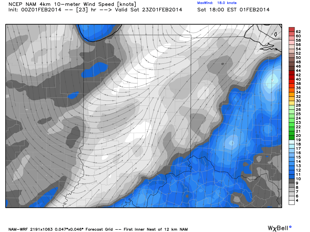
After a cold and damp Saturday, we’ll have to pay close attention to the chance of snow mixing with the rain Saturday evening before possibly turning rather quickly to a heavy, wet snow Saturday night/ wee morning hours Sunday. A cold front will slip south Saturday evening. Additionally, a disturbance will move slowly northeast along the pressing front and result in widespread precipitation falling on the back side of the boundary (in the colder air) late Saturday night into Sunday morning. As of Friday evening, guidance suggests a frontal passage in the city between 6-7 o’clock and cold air will begin to filter back into the region at that time period.
While we’ll have to keep a close eye on things during the afternoon Saturday, confidence is growing on the opportunity for a stripe of accumulating snow being laid down through central Indiana late Saturday night into the wee morning hours Sunday. Just how much? We wouldn’t be surprised if some amounts of 2-3″ are reported by daybreak Sunday, including in, and around, the greater Indianapolis region. Most of this snow would accumulate within two-three hours so this will be what we call a “thumping” snow. Stay tuned.

