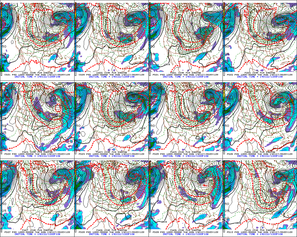
We have enough to worry ourselves with tonight and again Friday night-Saturday, but many are wondering about what Sunday holds. The consensus of operational model data today is for a north track Sunday, keeping most of the heavy snowfall across northern Indiana. That said, is it the correct idea? We’re not ready to buy the extreme north trend just yet…
While anything is possible, the northward trend in operational runs today has me scratching my head a bit given the overall pattern. Current thinking here would suggest operational models “correct” south with time over the next couple days, but time will tell. The GFS ensembles help illustrate the wide variance with the track of Sunday’s snow storm (below). While the track of the system is still up for debate, confidence is growing on amounts just north of the low’s track that approach half a foot Sunday. Much more later!

