After a brief thaw, winter’s set to return with authority in the days and weeks ahead. In fact, the overall long range weather pattern looks colder and snowier than average into early February, at least.
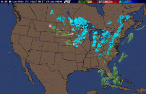
A current look at the National Radar shows the next clipper system taking shape to our northwest this evening.
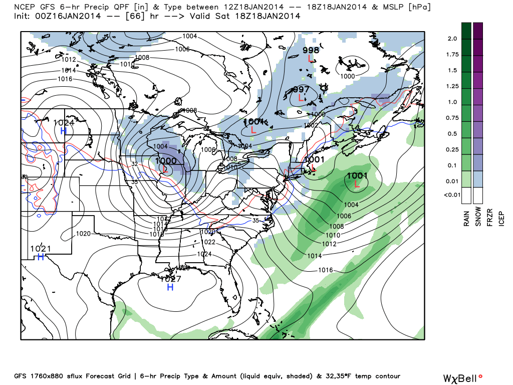
A dive into the latest model data continues to highlight two distinct opportunities for accumulating snowfall in the days ahead. The first comes Thursday into Friday while the second (potentially more robust) snow maker arrives Saturday afternoon and evening. By the way, my hat’s off to the GFS for jumping on Saturday’s system well in advance of the other modeling. Sometimes it’s easy to hammer the GFS, but it should be pointed out during the model’s shining moments, as well.
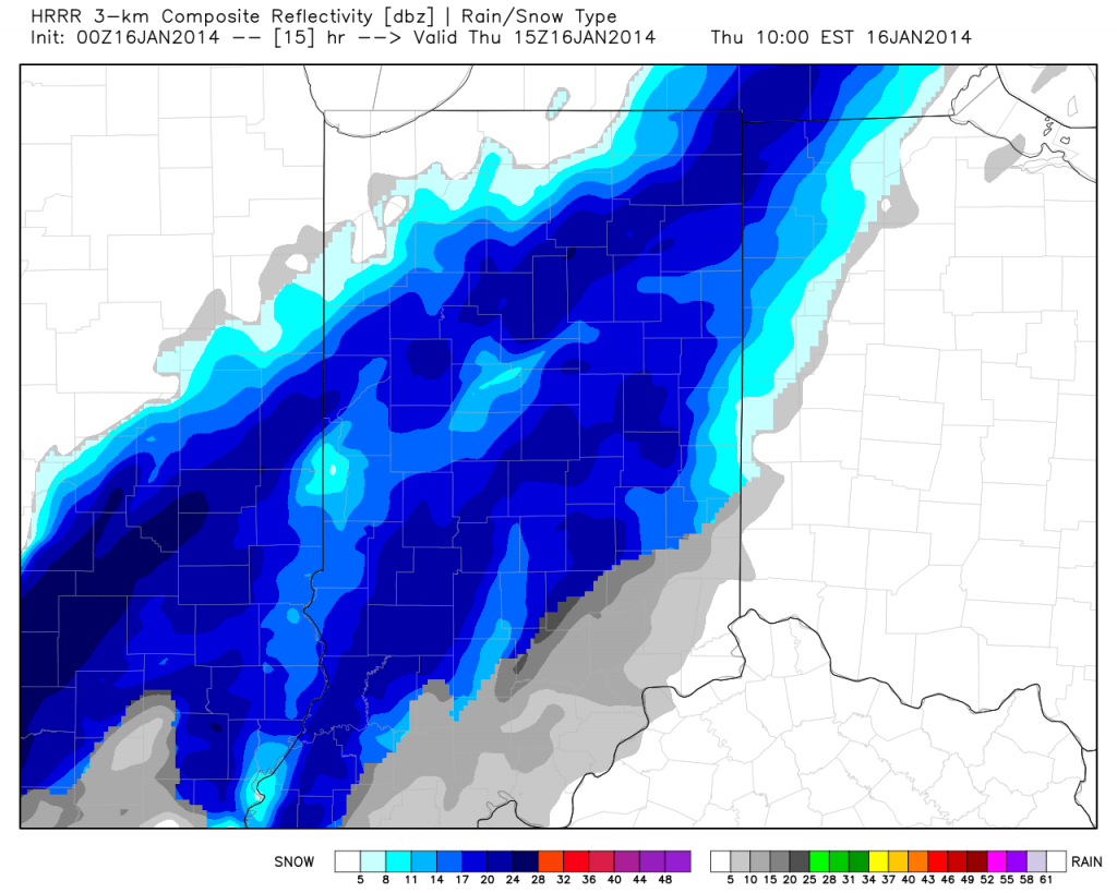
Back to the near-term… We think widespread snow overspreads central Indiana Thursday morning and continues through the majority of the day and on into Friday in varied intensity. By the time all is said and done, 2-4″ of new snowfall will be likely across central Indiana, with some locally higher amounts possible.
Here’s a look at the latest HRRR simulated radar valid 10am Thursday. Some moderate to briefly heavy snow is possible late morning into the afternoon.
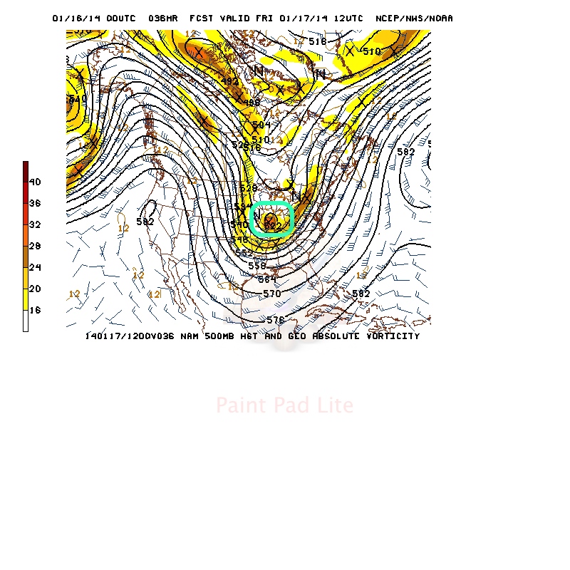
Of interest, we note forecast models carrying a vigorous upper level disturbance across the state Thursday night/early Friday and this will help carry accumulating snow into Friday for some.
We’ll note an intrusion of briefly drier air Friday afternoon into Saturday morning, but by this time all eyes will be focused on the next clipper system that promises to keep snow shovels and plows busy for parts of Indiana into the weekend. We think snow overspreads the region from northwest to southeast Saturday afternoon and evening. Steadiest snow falls Saturday night and could accumulate to the tune of a few inches by daybreak Sunday within the axis of best moisture. Just to the north of the clipper’s track will be where you find the highest snow totals with Saturday’s system and the precise track of this clipper will be tough to iron out with any sort of certainty until Friday evening. Stay tuned. By the way, the snowy and cold events keep on keepin’ on in the longer range…


