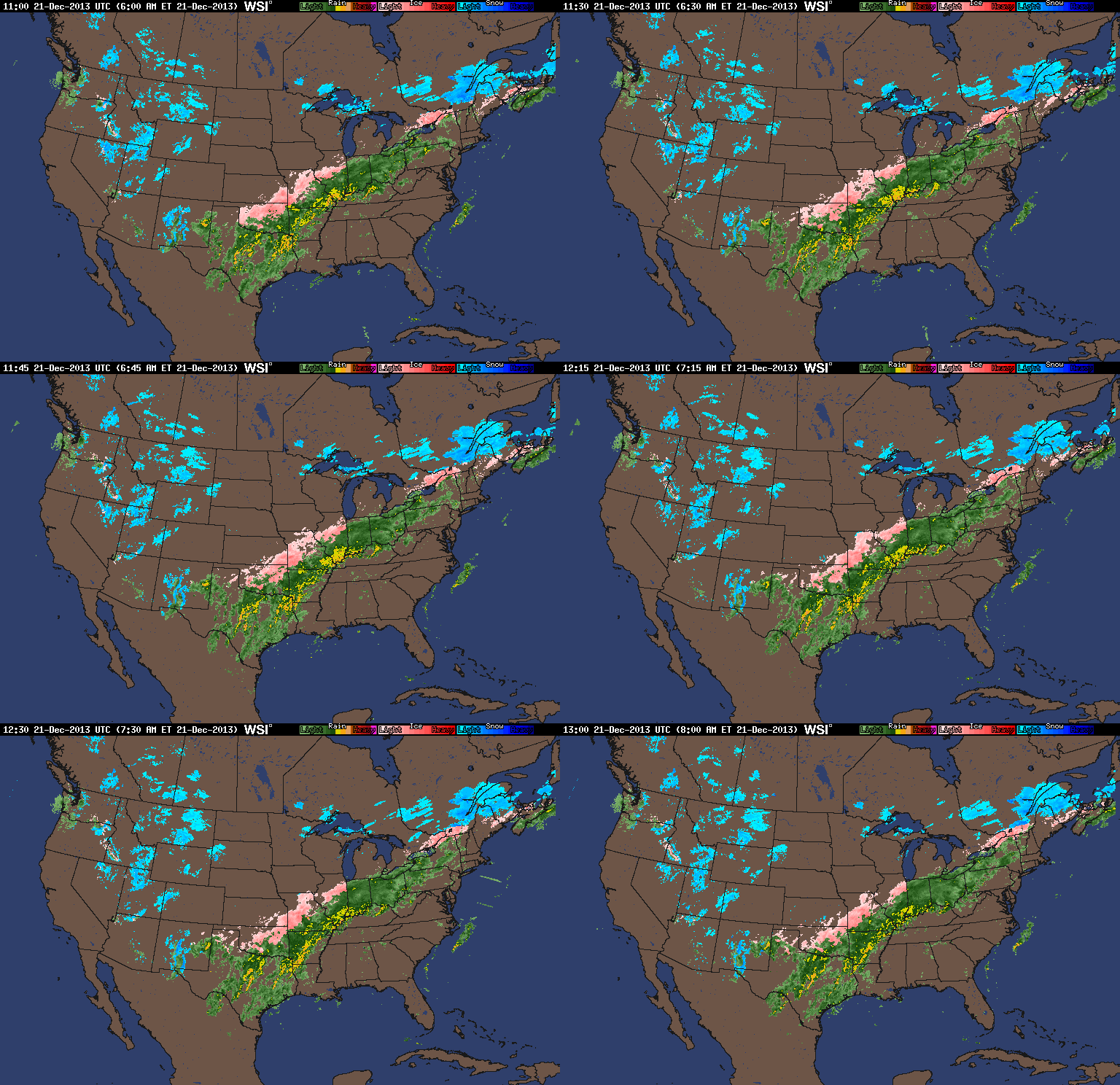
Widespread rainfall totals are approaching 1″-2″ since the rain begin Friday across central Indiana. When you look at the big-scale radar picture (snapped shortly after 8 o’clock this morning), you can understand the concern that’s ahead later this evening into Sunday, from a flooding perspective.
Latest projected rainfall numbers remain very consistent on the message we’ve been passing off to you, the viewer, for a few days now…widespread 3″-4″ totals, with locally heavier amounts.
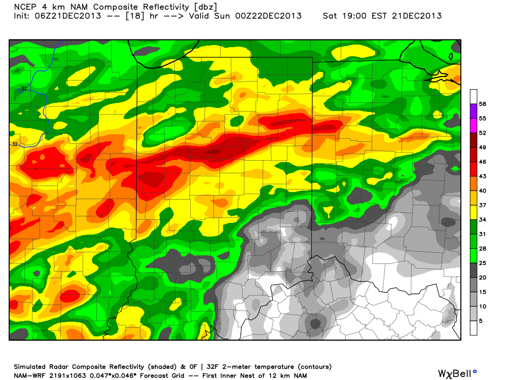
We think steady moderate to heavy rains continue for the better part of the day, but we note our short term, high-resolution, models targeting this afternoon and overnight for some extreme rainfall rates to develop. Here’s a look at the simulated radar valid 7pm this evening:
When you consider the snow melt and the rain that will have already fallen by this point, the stage is set for a very dangerous overnight flooding situation. Flooding any time of the day is dangerous, but particularly so at night. If you live in a flood prone area, PLEASE make sure to have a plan in place and consider perhaps spending the night with family or friends tonight as rapid water rise is certain to occur.


