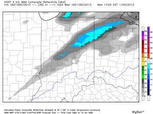
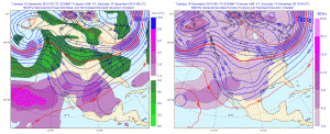
Considering we’re only a third of the way through December, we’re certainly running “snowier” than normal at this very early stage in the game. As we look ahead at the upcoming 10 days, or so, we see this snowier than normal pattern continuing with multiple systems to contend with over the course of the upcoming couple weeks. Up next will be the threat of some light snow showers and flurries with reinforcing arctic air Wednesday PM. Nothing significant is anticipated here on Wednesday, accumulation-wise, but snow showers will blow through the area Wednesday afternoon. The latest high-resolution NAM shows this well.
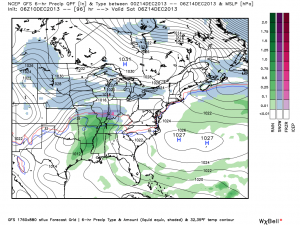
Then our attention turns to a developing winter storm for the weekend. We think clouds increase Friday and snow develops Friday night into early Saturday. Here’s a look at the latest GFS forecast model, valid Friday night.
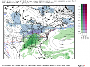
Fast forward that to Saturday morning and snow grows heavier…
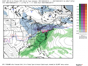
The GFS suggests a weak surface low tracks into eastern Ohio with backlash snow showers and embedded squalls continuing here Saturday night into Sunday.
It’s important to remember that we’re still a few days out from this event and I can guarantee you things will change as we go through the course of the upcoming few days that will require us to do some adjusting to our forecast Friday-Sunday. That said, at this early stage in the game, unlike with our last storm, I’d favor areas from IND and points north as the place where heavier snow falls this go around.
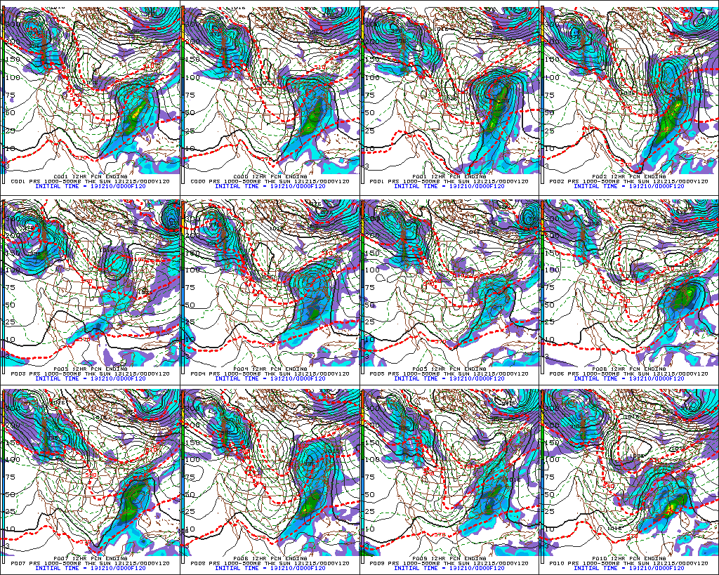
Latest GFS ensembles suggest something similar to the operational run shown above with one low tracking into the eastern Ohio Valley as another coastal low develops.
The European ensembles provide an “intriguing” look for an Ohio Valley winter weather event this weekend, as well.
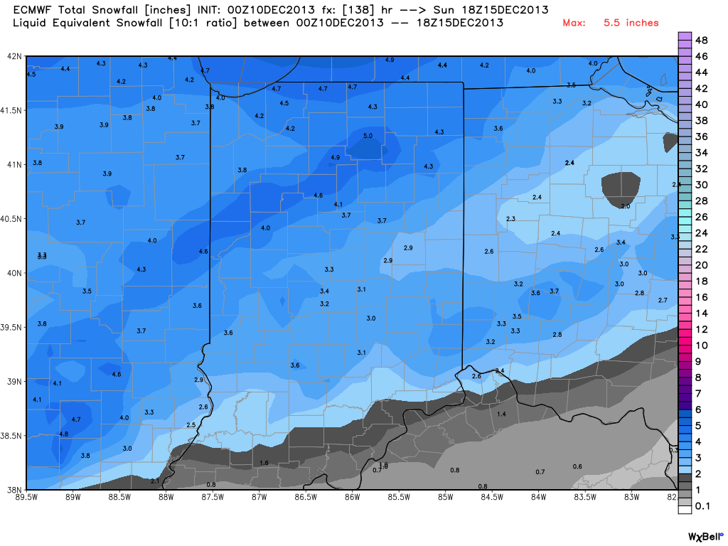
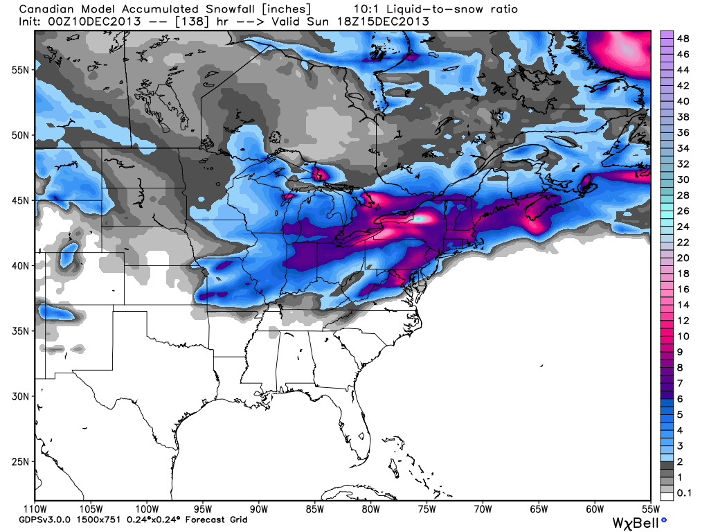
A couple of additional items to consider at this early juncture- this will be a fast moving winter storm so that will have an impact on snowfall accumulation. Additionally, there’s also the chance enough warm air aloft advects (WAA or warm air advection) into the southern portions of the region to result in “mixing” issues (i.e. sleet and freezing rain). In the primarily “snow zone” Friday night-Saturday (again, we’re currently targeting IND and points north for the snow zone) several inches of snow could accumulate.
Here’s an early look at what the latest mid-range forecast models are seeing in terms of potential accumulations with this event. Top to bottom: ECMWF, GFS, and Canadian. Stay tuned, we’ll have another update later! Enjoy your day!

