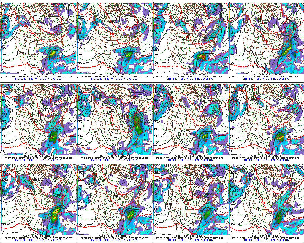
Today’s model data continues the theme of a southern and eastern storm for the days surrounding Thanksgiving. We’ll continue to monitor for any potential shift northwest, but as of now, the trend remains for a “suppressed” storm track. Here’s a look at the individual GFS ensemble members, off today’s 12z run. Taken at face value, 3 out of 10 members show some light snow in the air.
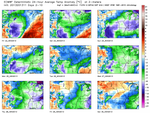
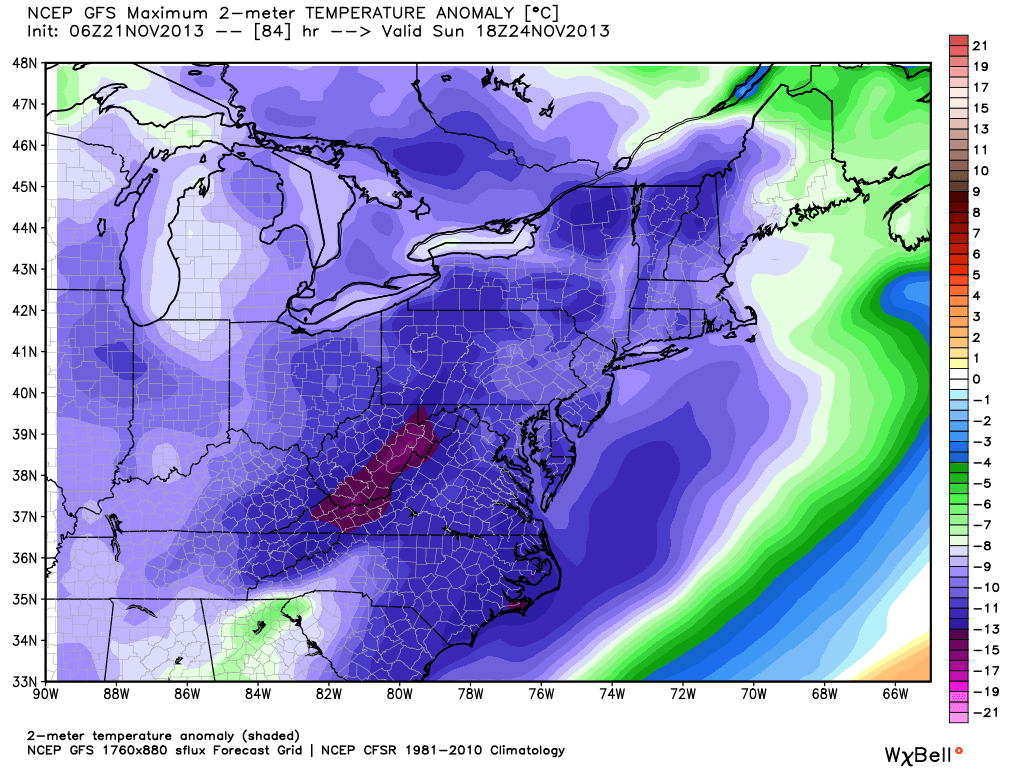
For now, the big story still appears to be the unseasonably cold air around for Thanksgiving. The ECMWF, Canadian, and American models (GFS and NAM) continue to hammer home the idea of a frigid Thanksgiving ahead (relative to the time of year, of course). I’m not convinced we won’t have to deal with some light snow next week at some point, but for now, the bigger story still appears to be impressive early season cold, and this cold pattern isn’t going away anytime soon.
The latest European forecast data illustrates this well. Note each and every day is well below normal, aside from tomorrow (cold air pushes in tomorrow PM). This is a snap shot of the average temperature (in degrees C) over the upcoming 10 day period. The blues, greens, and purples showcase the cold, relative to average.

