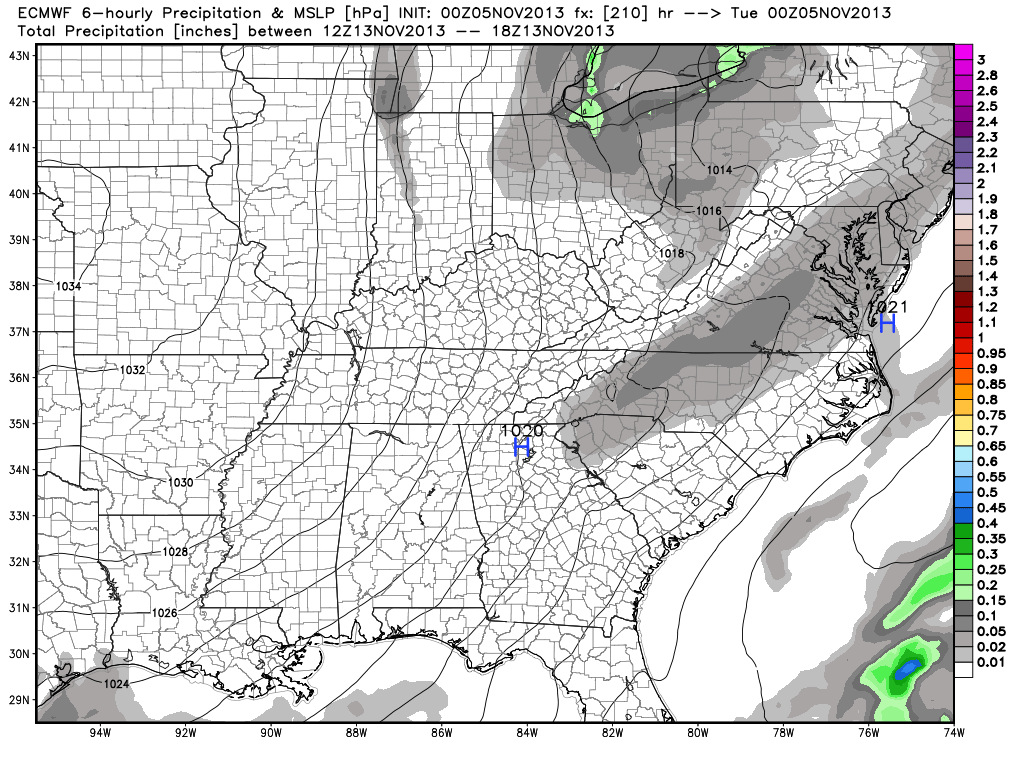
I wanted to quickly post on two totally different scenarios for next week. Two of the more powerful forecast models we use to look into the mid-long range are in separate worlds when it comes to the weather pattern the middle to latter part of next week.
Here’s a look at the GFS upper air pattern:
Note the eastern ridging which would lead to well above normal temperatures during the middle to latter part of next week (by as much as 10 degrees above average), along with dry conditions.
HOWEVER, here’s a look at the European’s forecast upper air pattern late next week:
This would certainly be quite the significant storm for the Northeast, but the implications here are vastly different from that which the GFS shows above. Instead of warmth and dry conditions, we’d deal with highs in the middle 30s and overnight lows in the lower to middle 20s. Additionally, we’d also “enjoy” (okay, some folks would “enjoy”) snow showers and snow squalls the middle to latter portion of next week, as noted per the European below, including a lake Michigan connection.
Needless to say, we have a lot to sort out in the coming days. We’ll be here to do just that. Make it a great Tuesday!


