Updated 09.12.13 @ 4:59p
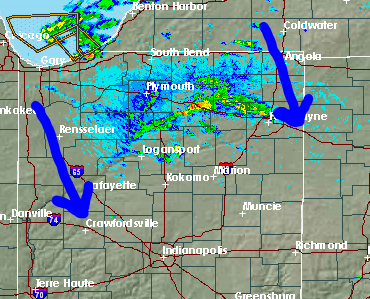
Zionsville, IN A series of cold fronts sweep the state tonight. This will help usher in our first true taste of autumn for the season, just in time for another special football weekend ahead! Don’t get used to the chilly conditions as resurgent heat, and better rain chances lie ahead. We discuss below!

Chilly Air Blows Into Town: A series of cold fronts are in progress of blowing through central Indiana. One is already through with another waiting in line. This secondary cold front packs some chilly air behind it and will result in temperatures in the upper 40s for many come morning. Talk about stark contrast from heat indices in the 100s earlier this week! We’ll note some instability-driven puffy cumulus clouds forming during the afternoon, but these will clear and give way to a calm, chilly night. Overnight lows Saturday morning will fall into the 30s for outlying areas.
Weak Cold Front Sunday: A weak cold front will lead to afternoon clouds and the threat of an isolated thunderstorm Sunday afternoon/ evening. We think 80-90% of the coverage area remains rain-free for now, but we’ll keep an eye on things and update accordingly. This boundary will be responsible for keeping things dry and pleasant through early next week.
The Heat Returns: While we don’t anticipate anything nearly as brutal as this past week’s stretch of heat, the thermometer will flirt with the 90 degree mark once again come Wednesday. Strong southwest winds will blow a warmer, more humid brand of air north bound for mid week and have overnight lows only falling into the lower 70s. A cold front will approach the region late next week, leading to what appears to be some scattered to numerous showers and thunderstorms by next Thursday.
Follow us on Twitter: @IndyWx
Friend us on Facebook: search IndyWx.com


